Stage 3: Ellen Peak campsite to Pyungoorup Cave
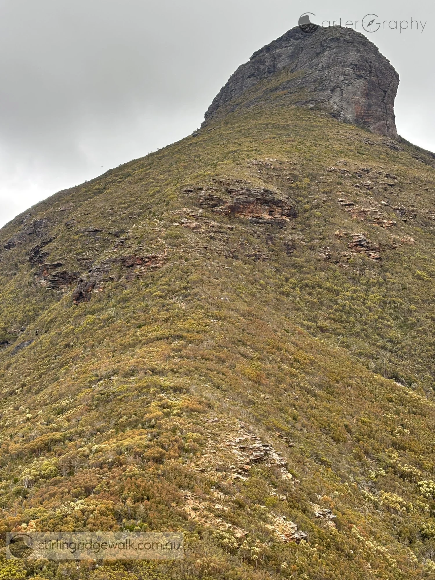
Ellen Peak shortly after leaving the campsite north east of Ellen Peak, with the North East Ridge rising steeply towards the imposing rock face at the base of the peak.
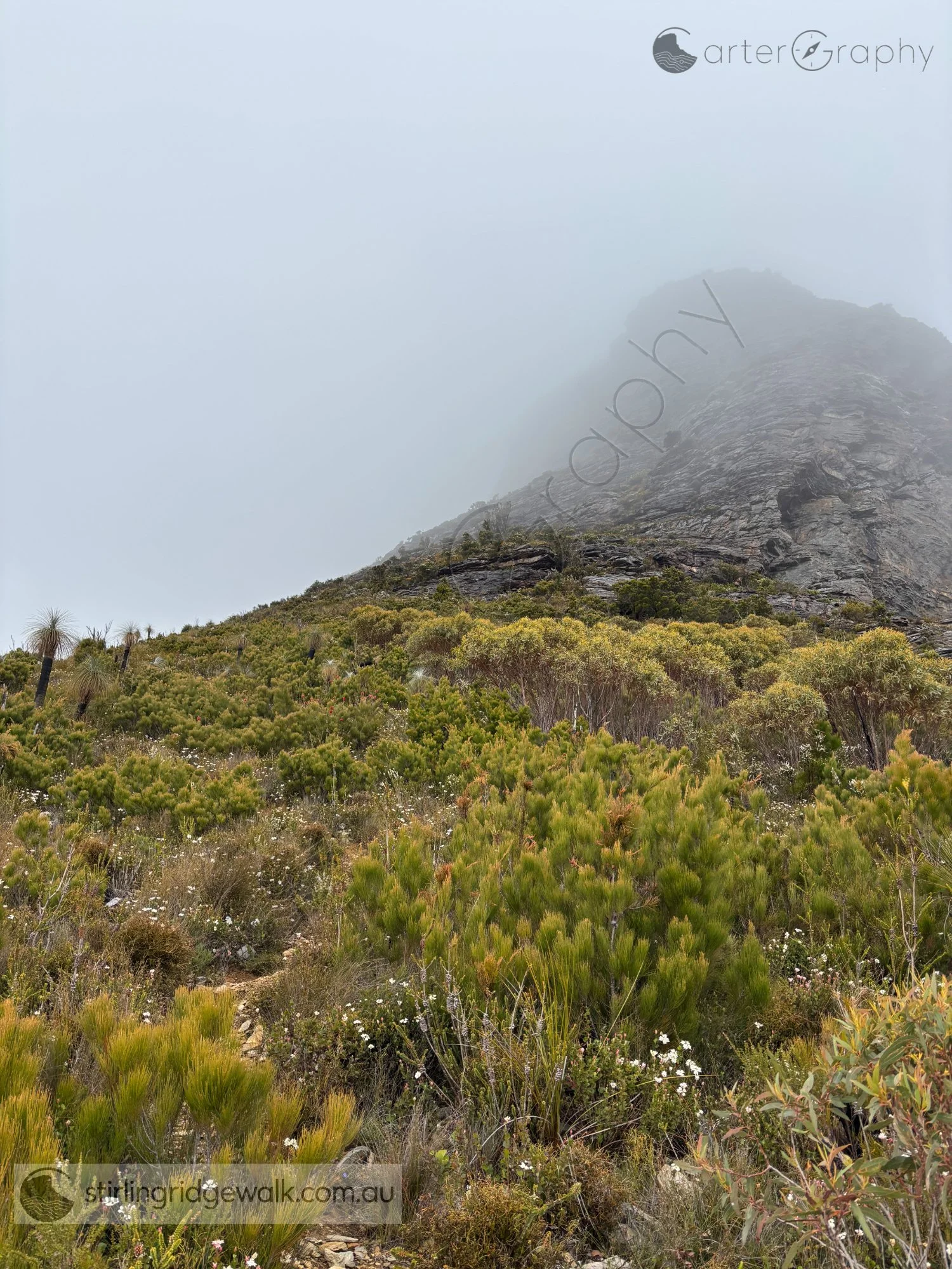
Approaching the EP summit junction near the base of Ellen Peak, where the route divides between the summit ascent and the traverse around the northern base of the peak.
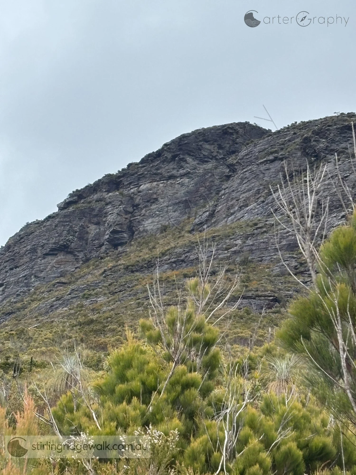
A closer view of the steep route towards Ellen Peak summit, ascending through the cleft between the two rocky summits.
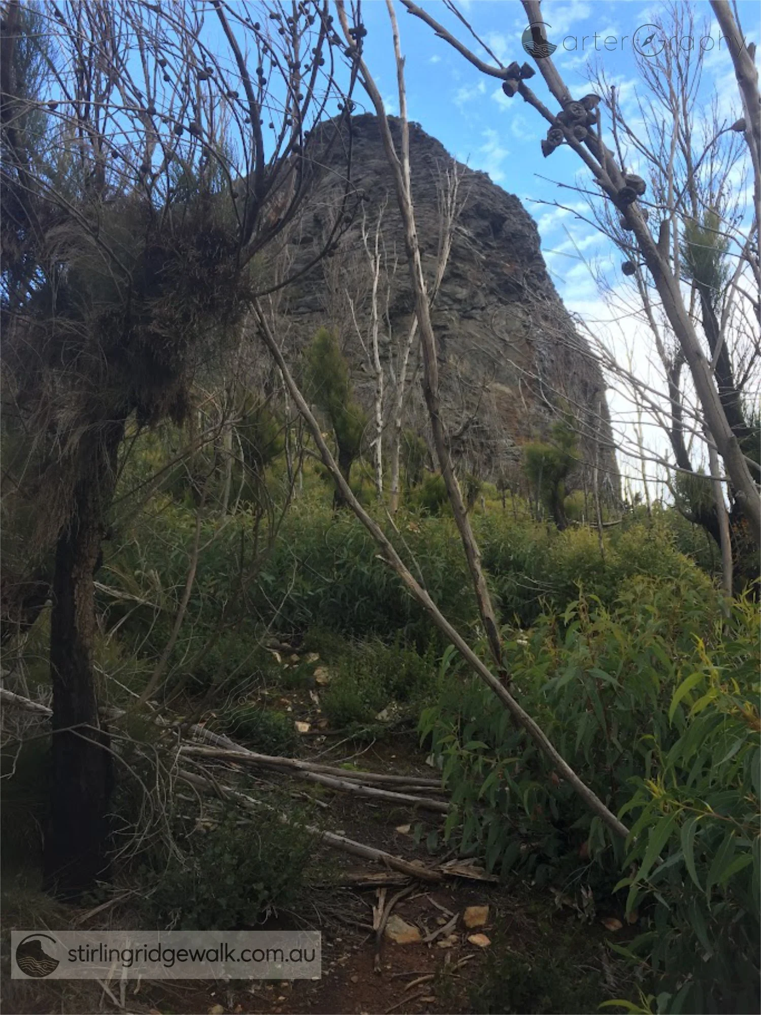
Approaching the junction where the route divides between the Ellen Peak summit ascent and the traverse around the northern base of the peak.
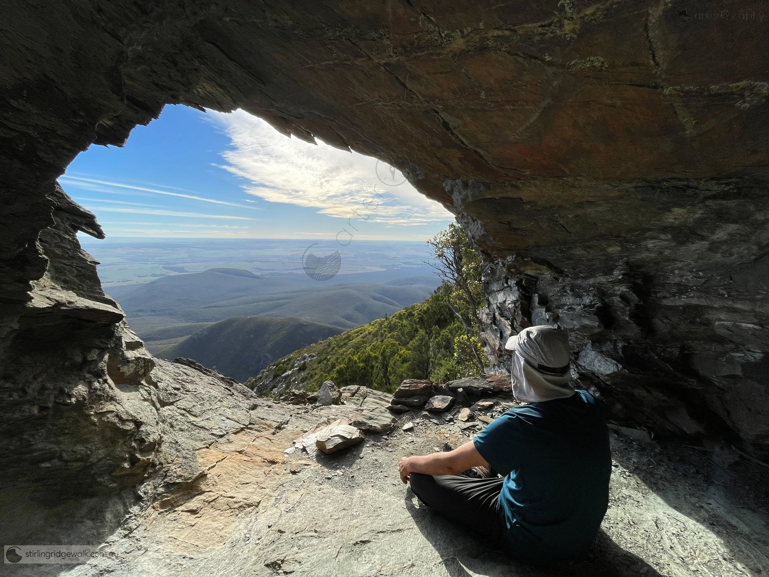
Ellen Peak Cave, a small rock shelter tucked beneath the northern base of Ellen Peak just off the track, with enough sheltered space for perhaps two people. The opening looks north across the lower plains with Moir Hill visible.
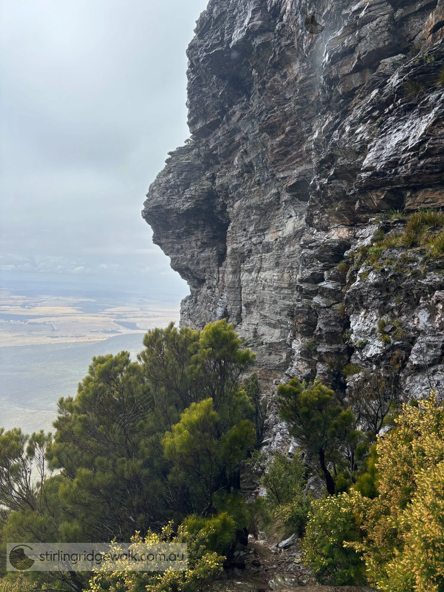
Traversing around the north west base of Ellen Peak beneath the steep rock face, with farmland and plains stretching away to the north. The North Boundary Track can be seen running east to west, parallel to the farmland.
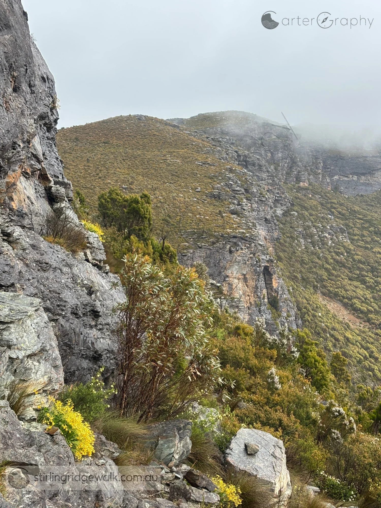
Traversing around the northern base of Ellen Peak, with the track following the steep rock face towards the saddle between Ellen Peak and Pyungoorup Peak as low cloud drifts across the Ridge.
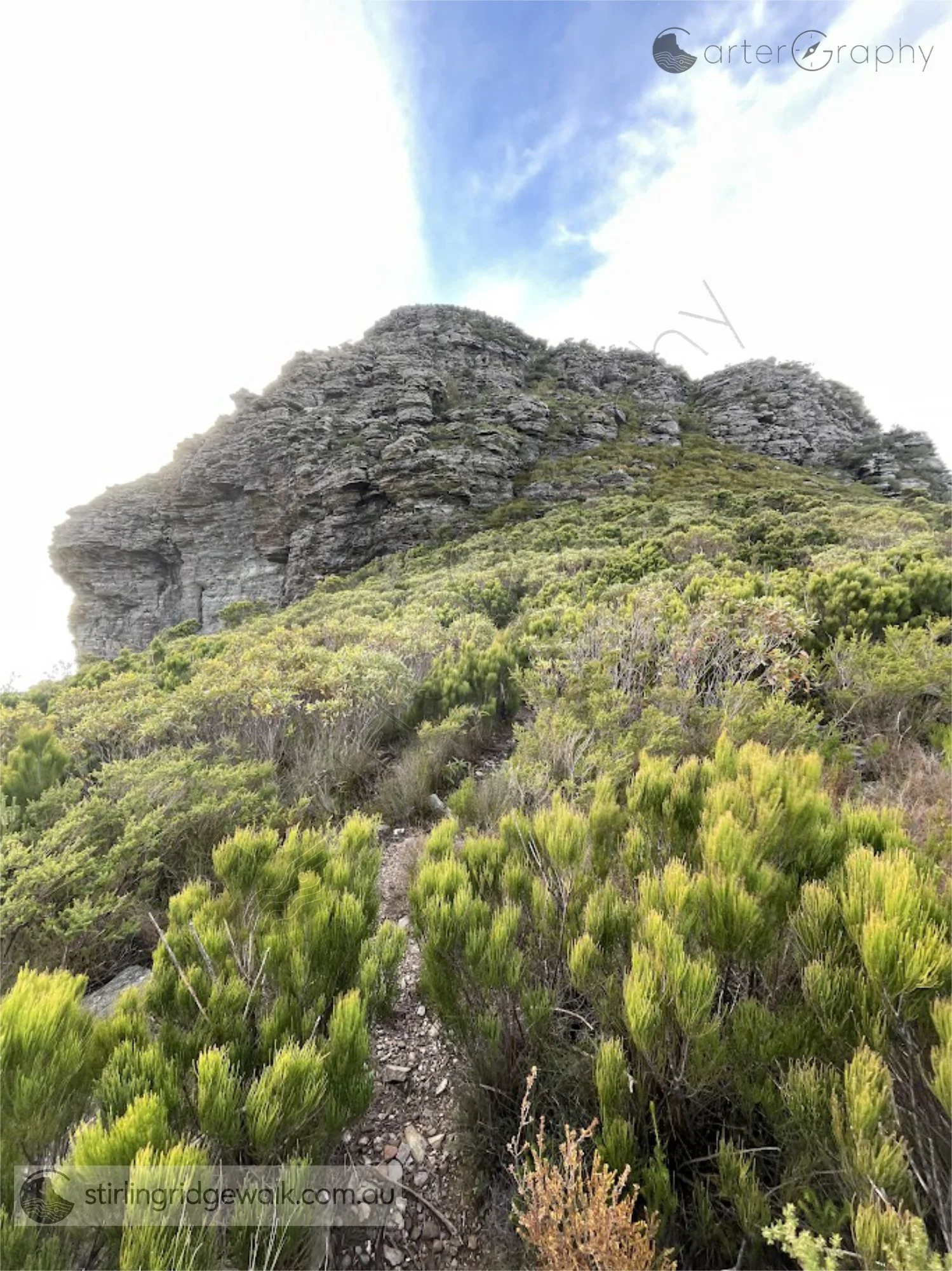
Looking east from the saddle between Ellen Peak and Pyungoorup Peak towards the two rocky summits of Ellen Peak, with the main summit on the left.
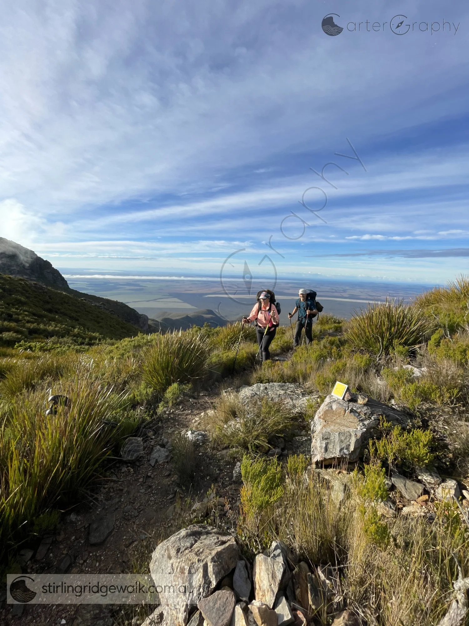
Walkers approaching from Pyungoorup Cave towards the yellow ground marker just west of the ascent to Pyungoorup Peak summit.
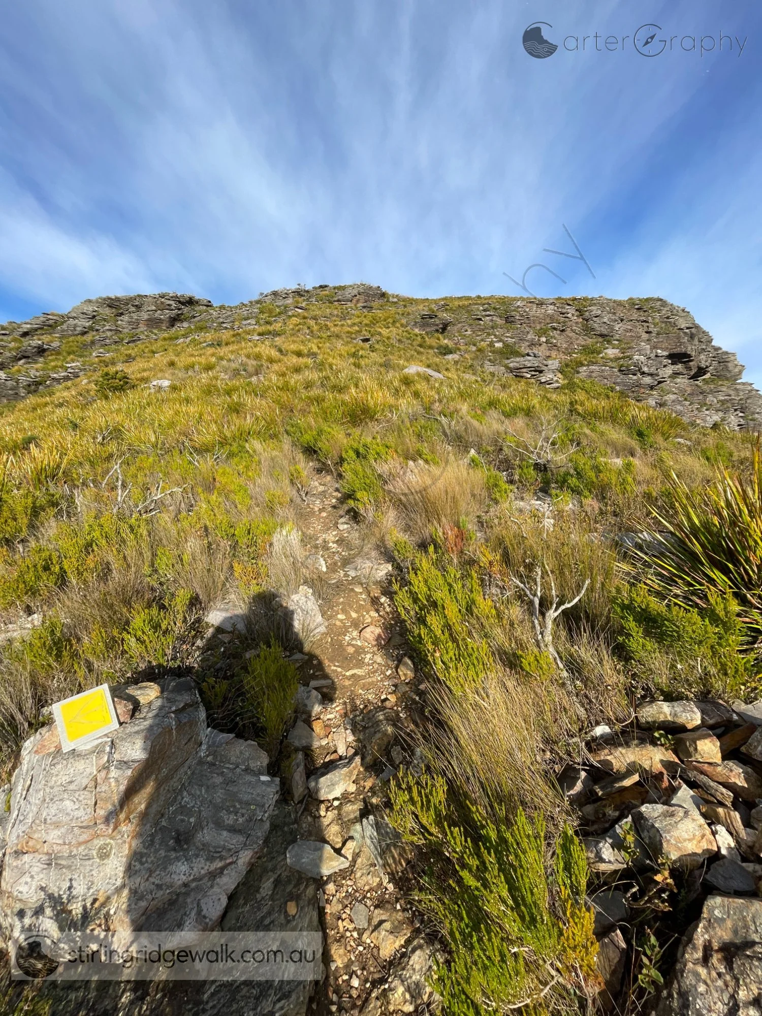
Standing at the yellow ground marker, looking west along the track towards Pyungoorup Peak.
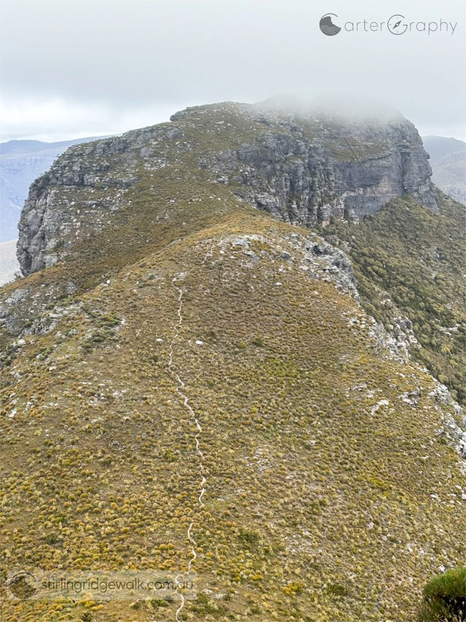
Looking west from the summit of Ellen Peak towards Pyungoorup Peak. The Stirling Ridge Walk track can be clearly seen crossing the small saddle towards the yellow ground marker below the imposing northern face of Pyungoorup Peak. From the marker, the route turns south around the peak towards Pyungoorup Cave on its southern side.
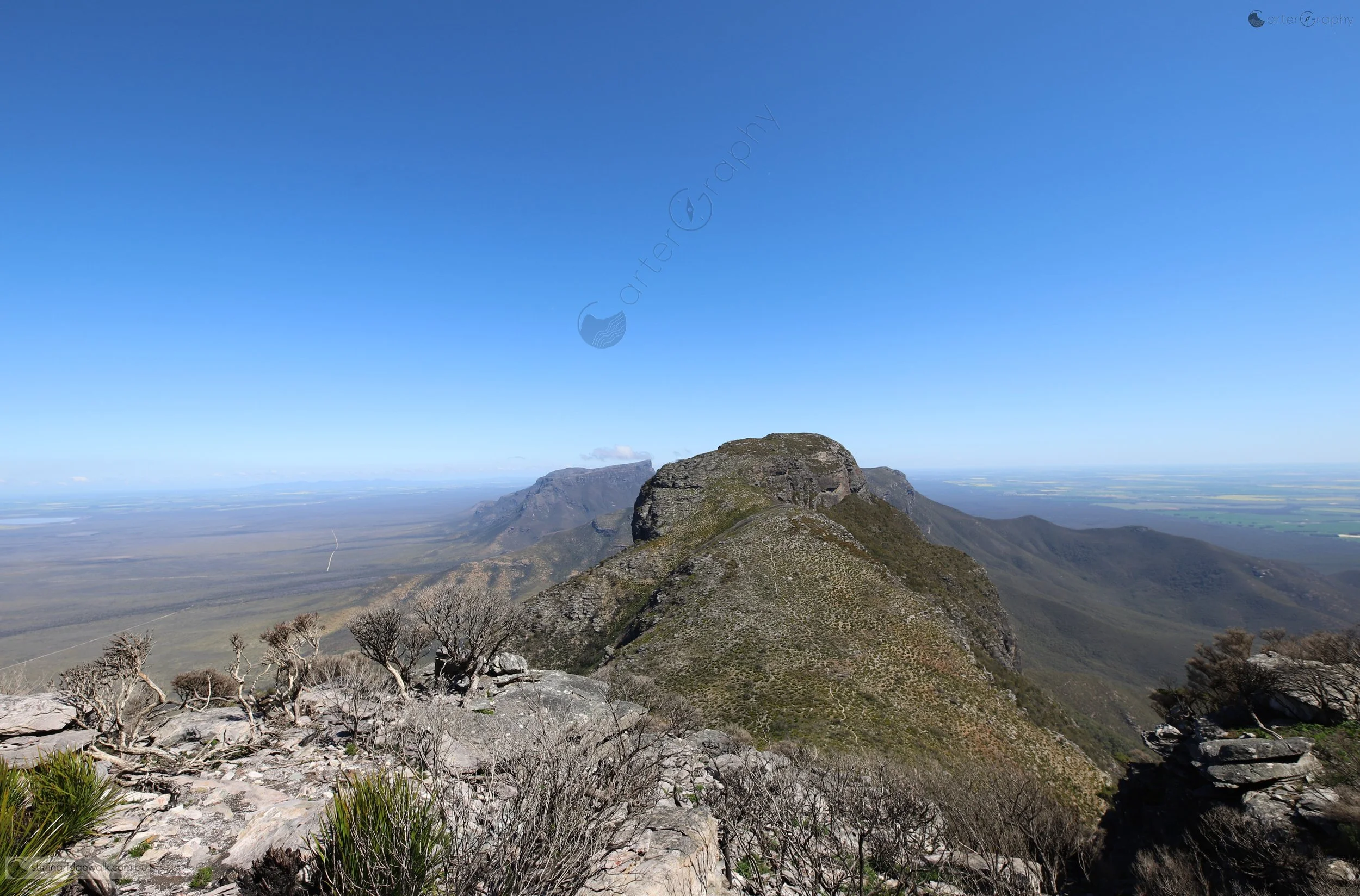
Looking west from the summit of Ellen Peak, with the track clearly visible following the ridge towards Pyungoorup Peak. Bluff Knoll can be seen to the left of Pyungoorup Peak, while Isongerup North Peak is visible to the right.
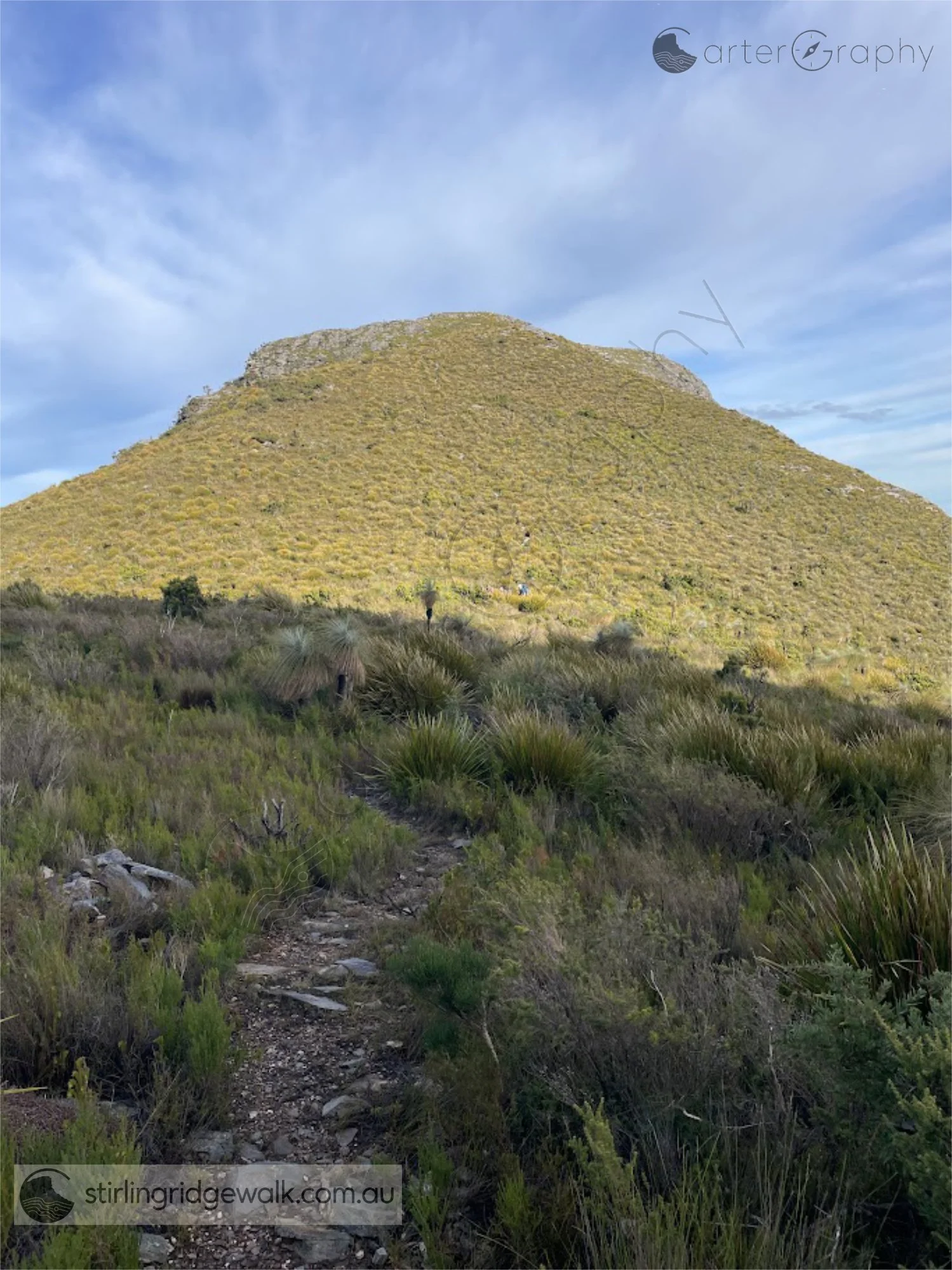
Looking west from the saddle between Pyungoorup Peak and Ellen Peak, with the hill immediately to the west dominating the view and the main summit of Pyungoorup Peak just visible to its right.
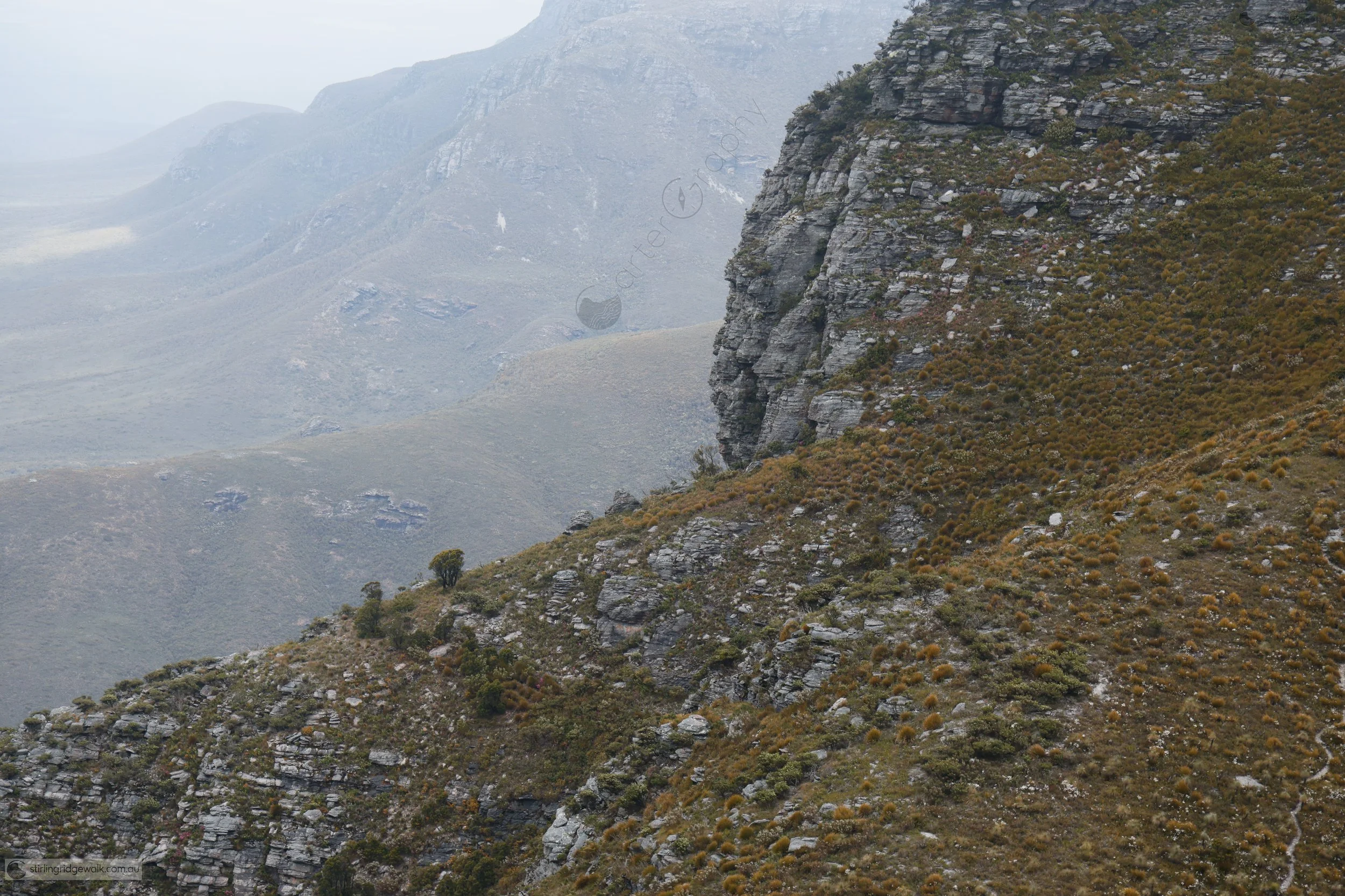
Looking west from the summit of Ellen Peak, zoomed in on the steep southern approach from the yellow ground marker just east of Pyungoorup Peak. Pyungoorup Cave is tucked around the southern side of the peak and is just out of view.
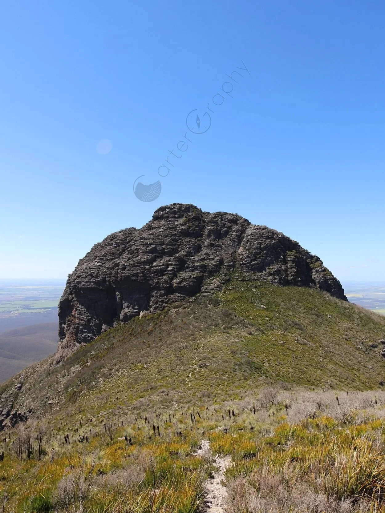
Looking down from beside the yellow ground marker towards the saddle between Ellen Peak and Pyungoorup Peak. The track ascends from the saddle towards Ellen Peak, where it branches between the route up and over Ellen Peak summit and the northerly traverse around the base of Ellen Peak.
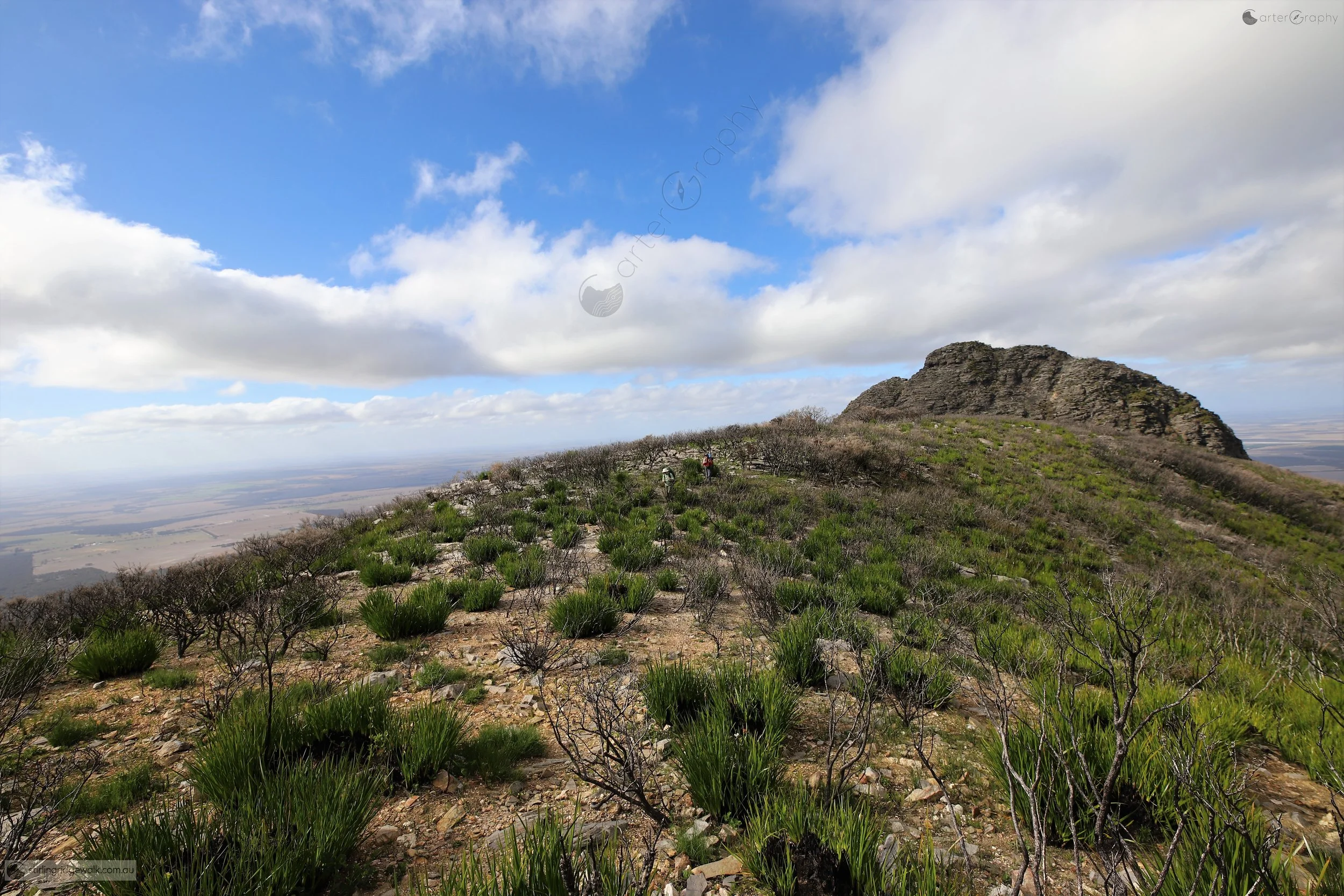
Post fire regeneration along the Stirling Ridge Walk in 2019, with low vegetation recovering among the remaining burnt stems. Ellen Peak is visible to the east, while the open post fire landscape reveals much more of the underlying shape of the Ridge than would normally be visible through mature vegetation.
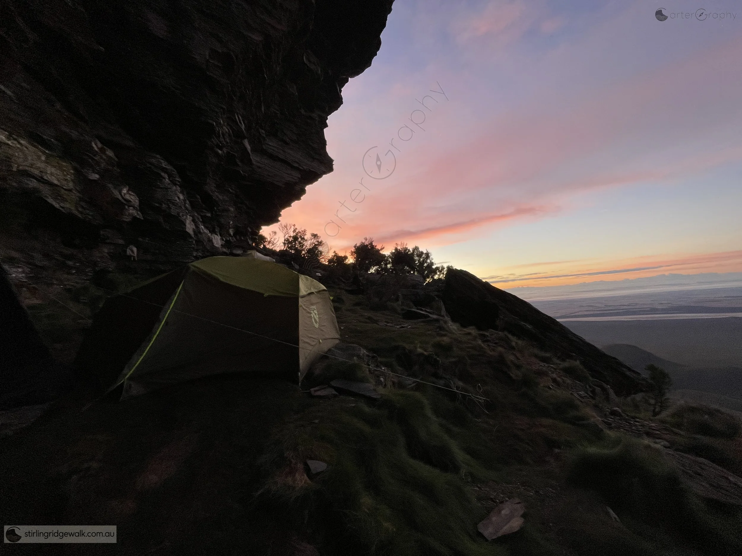
Camping beneath the immense rock overhang of Pyungoorup Cave, with the evening sky illuminating the plains beyond. A beautiful place to spend the night, with remarkable views across the surrounding landscape as the morning light arrives.
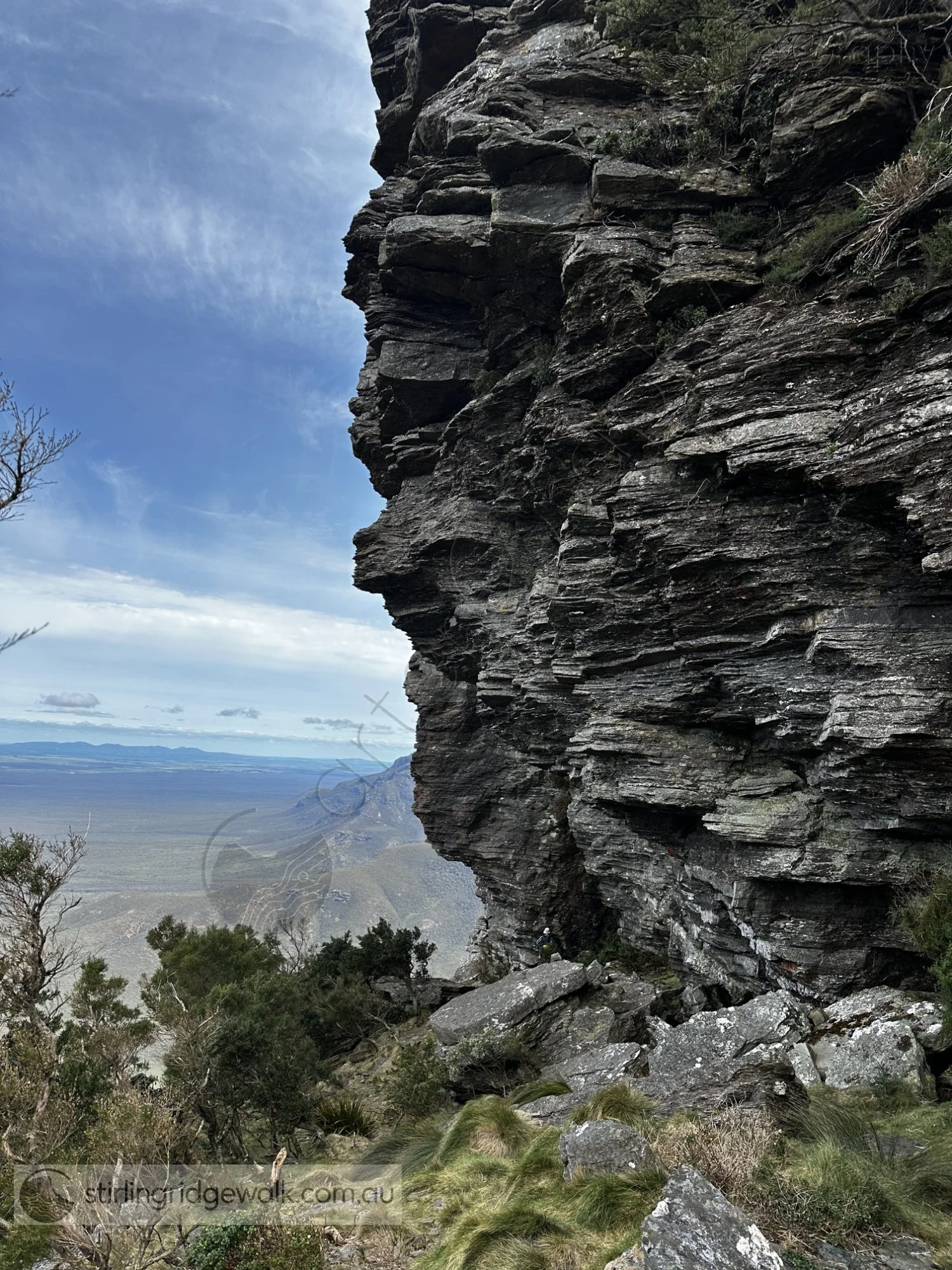
Looking west from Pyungoorup Cave towards the western end of the rock overhang, where the steep drop face comes to an end. The correct entry to and exit from Pyungoorup Cave is through the middle of the cave area, not around its western extremity. The ground rising towards the western end is quite steep and is not the correct track.