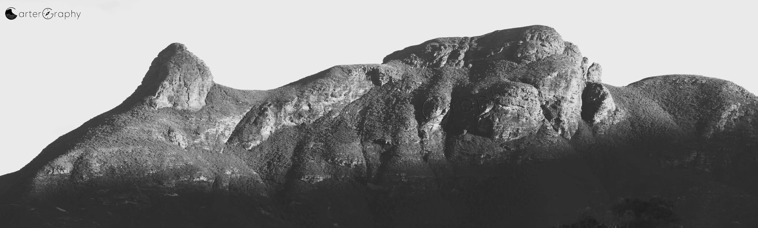
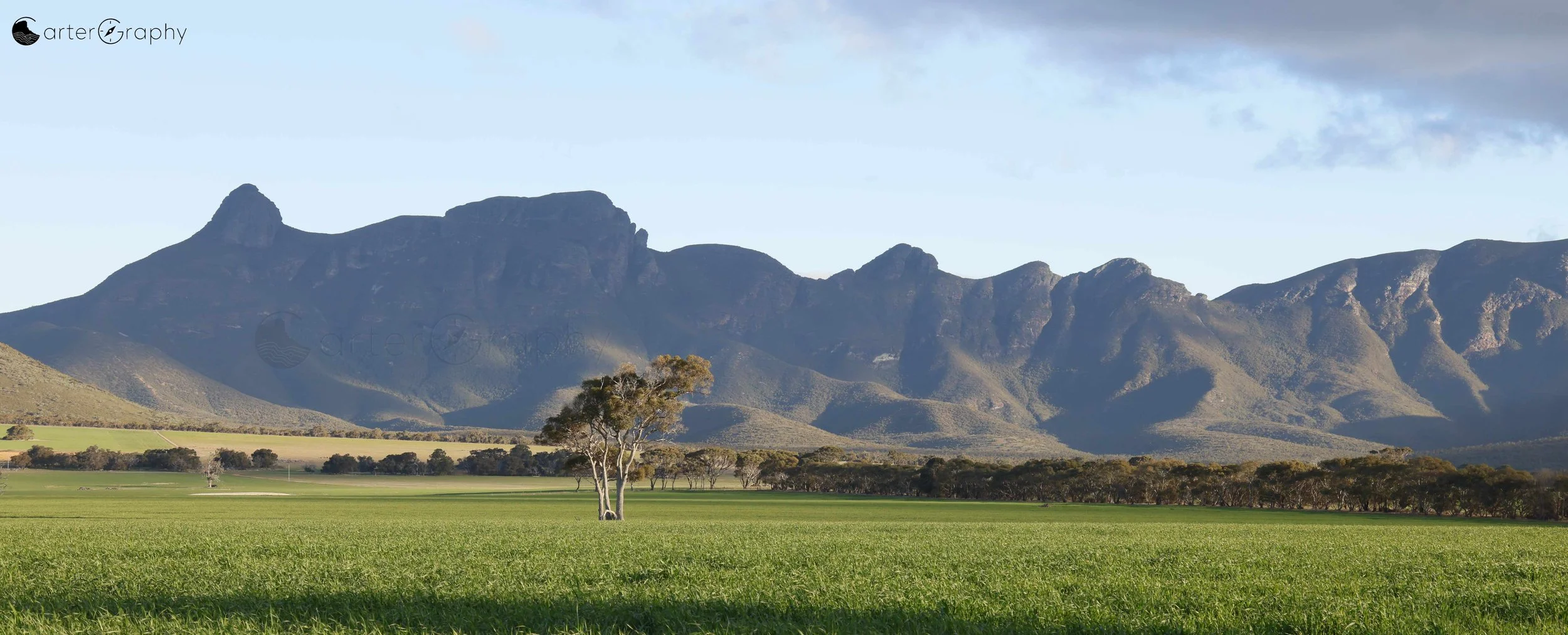
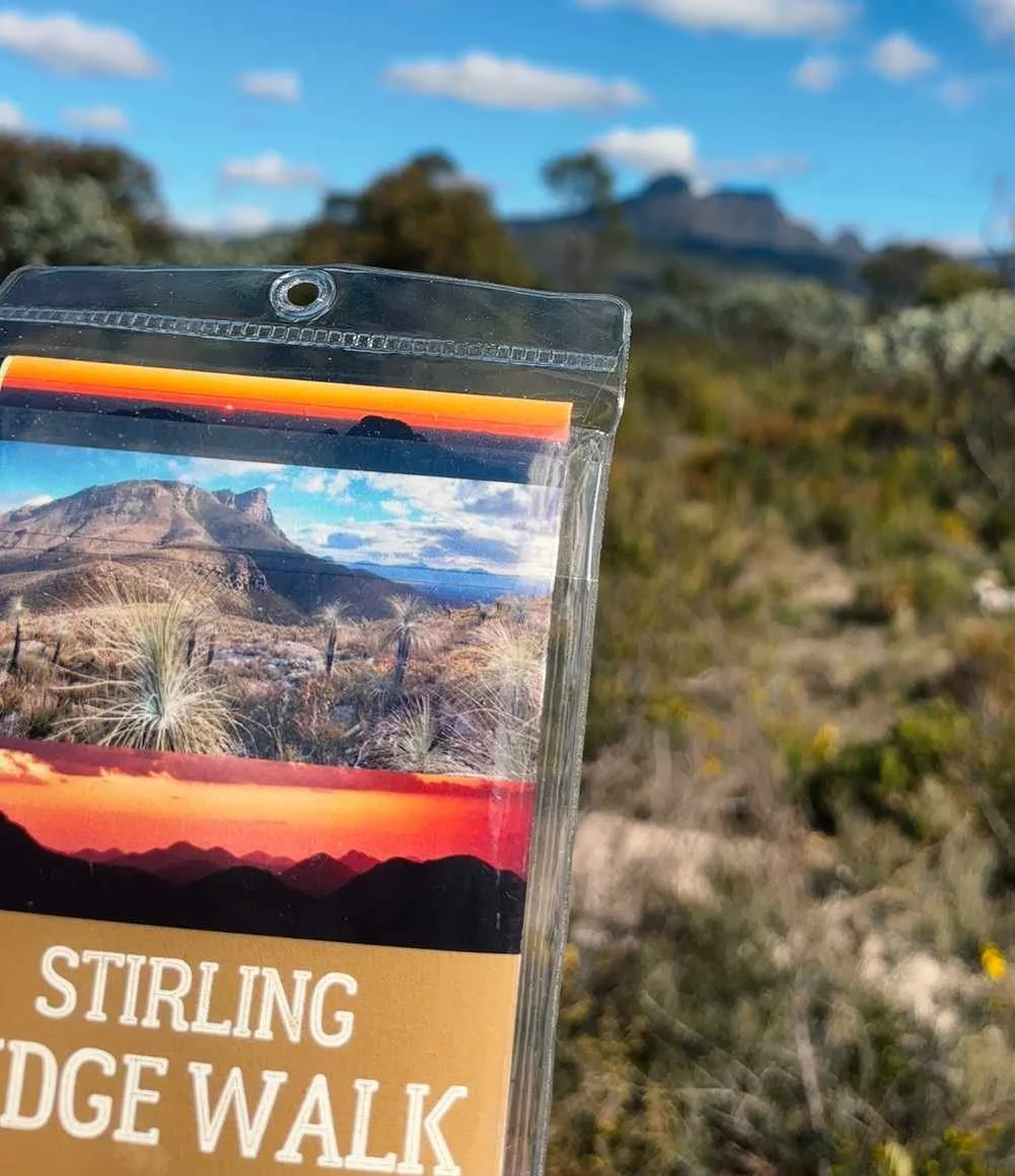
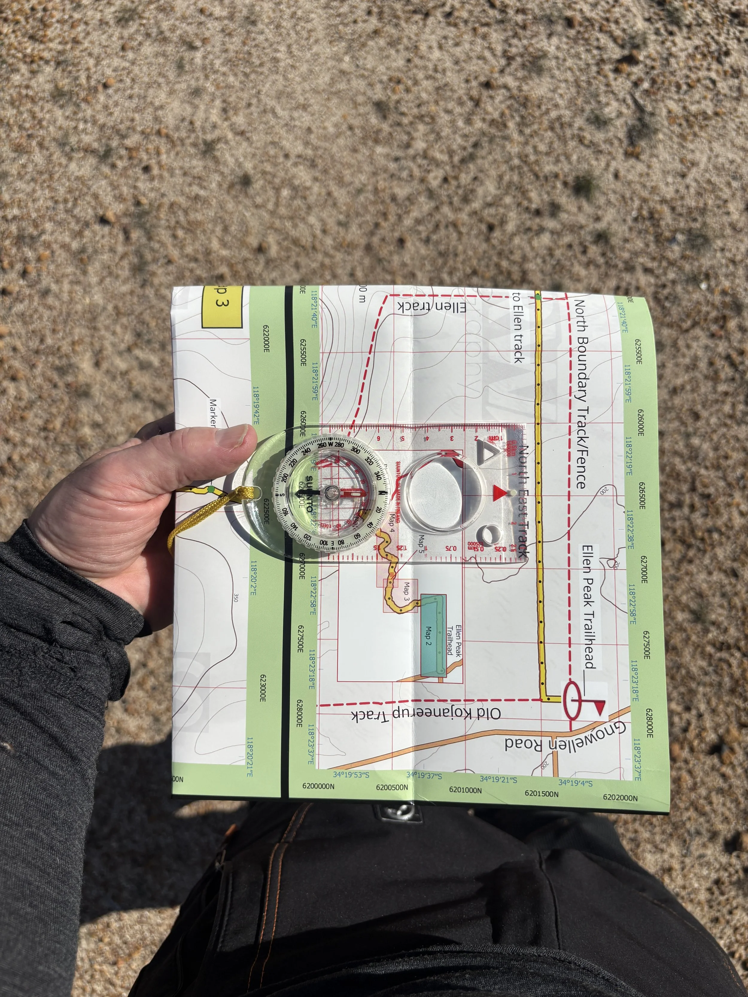
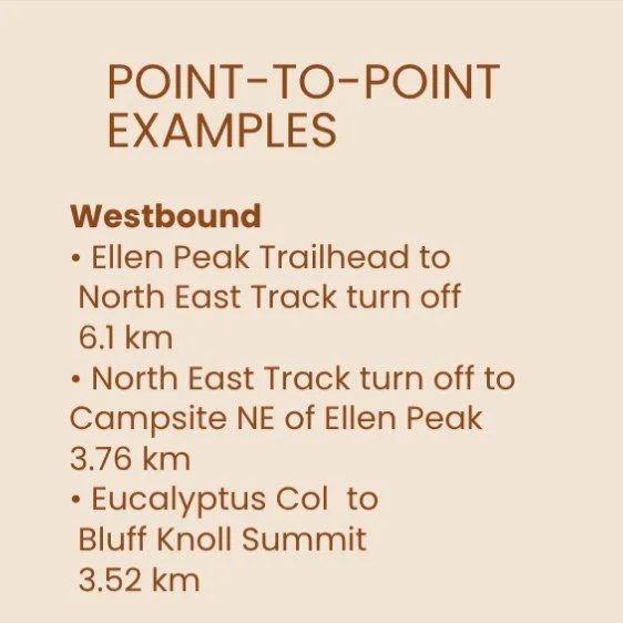
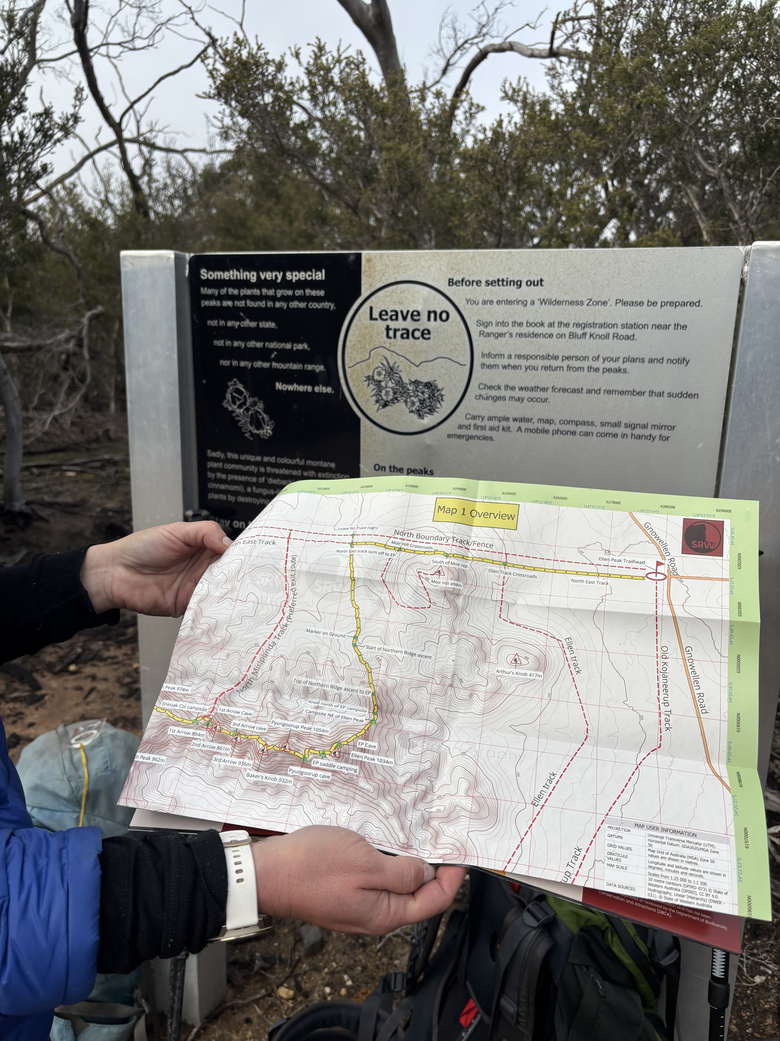
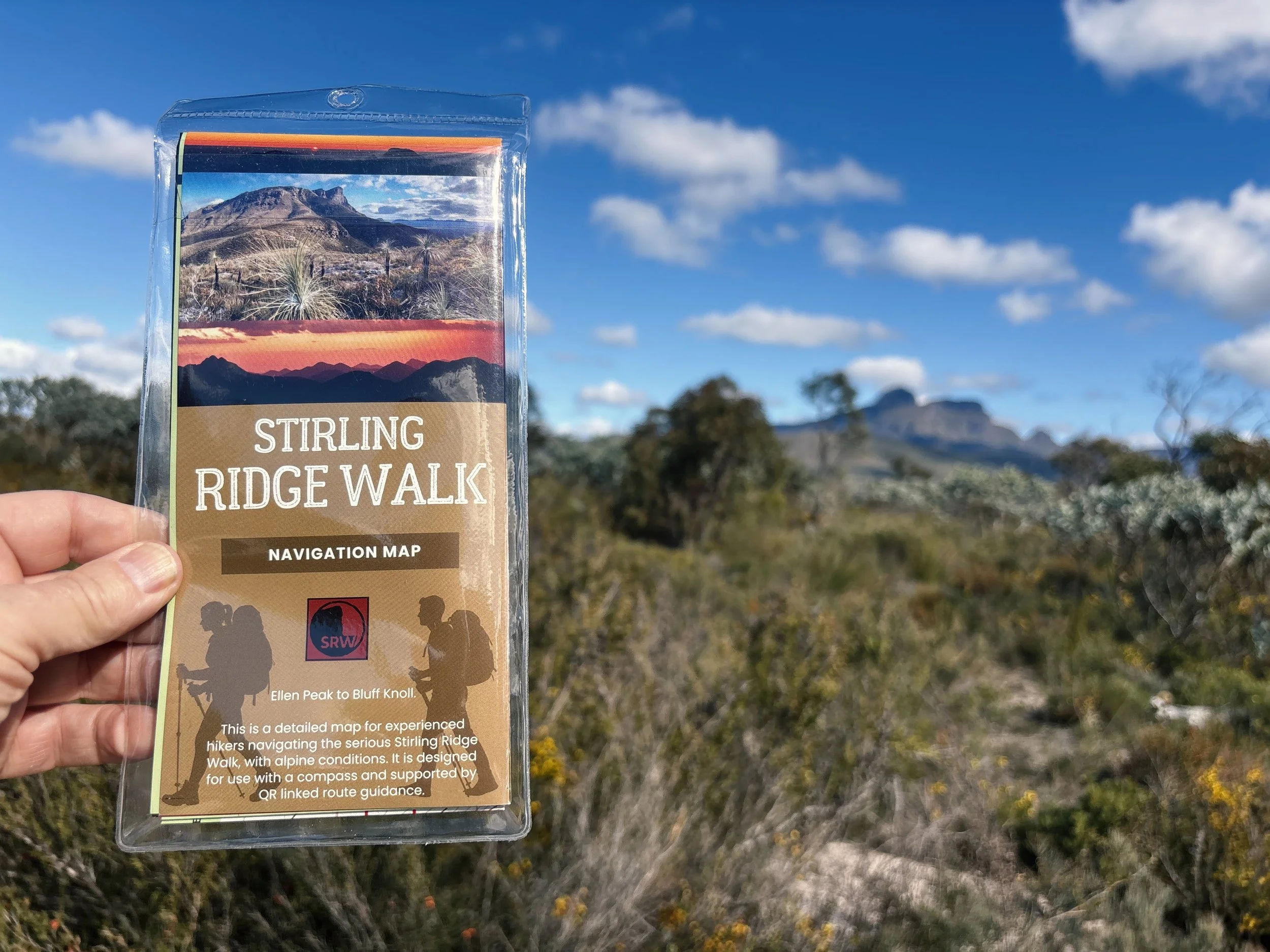
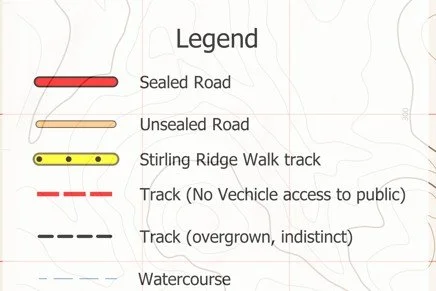
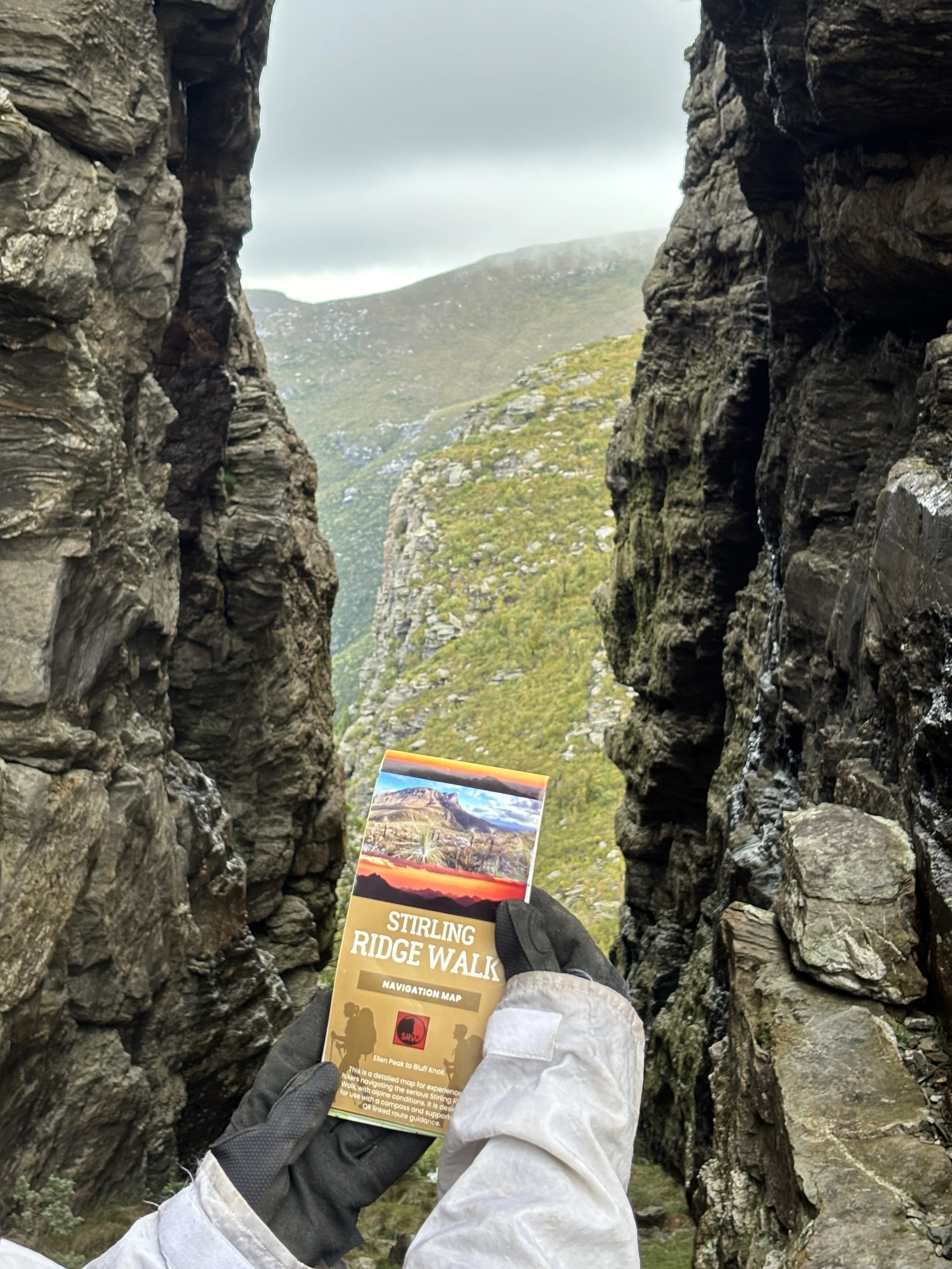
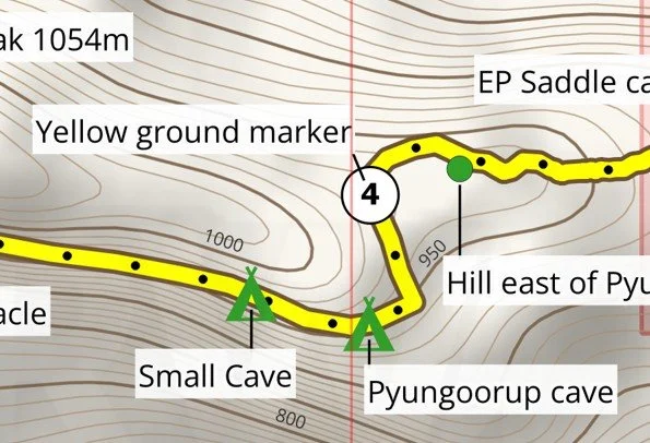
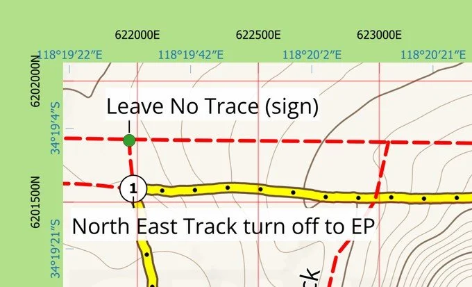
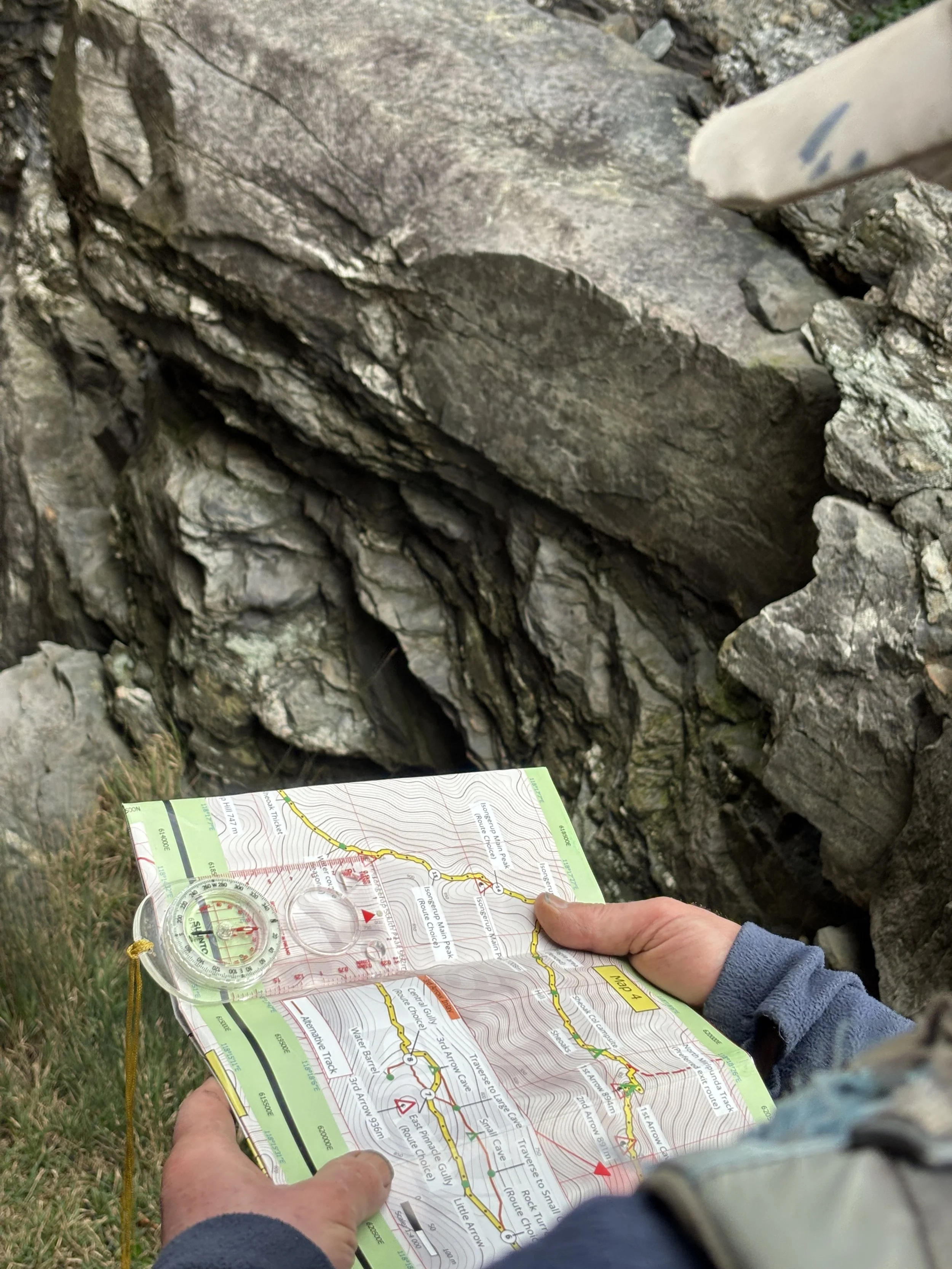
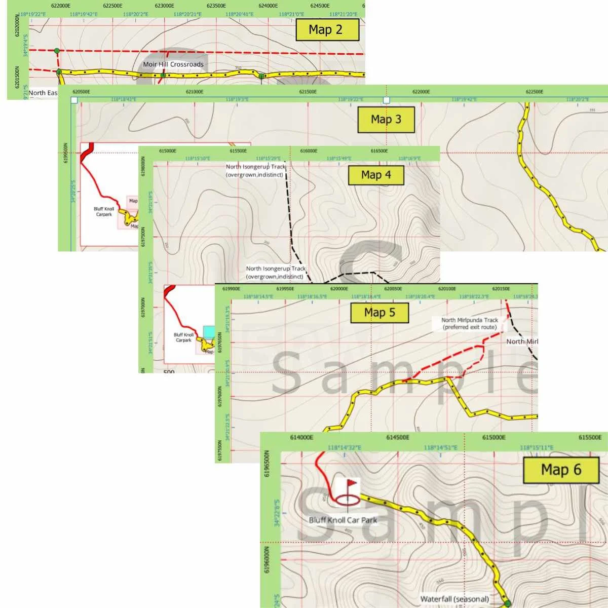
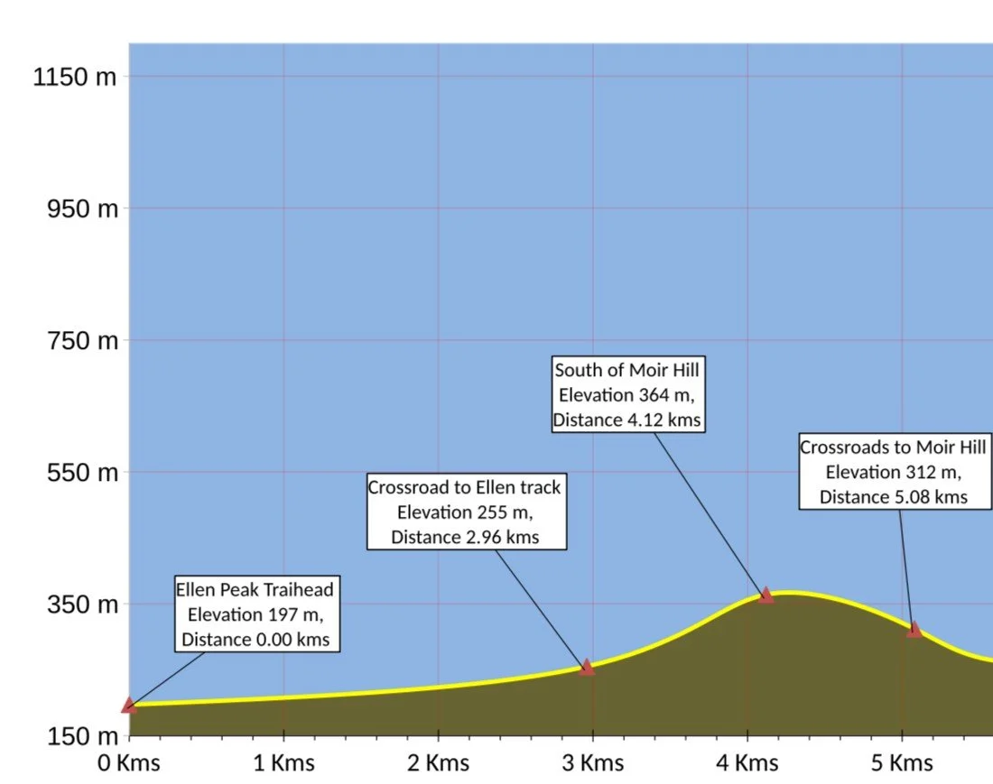
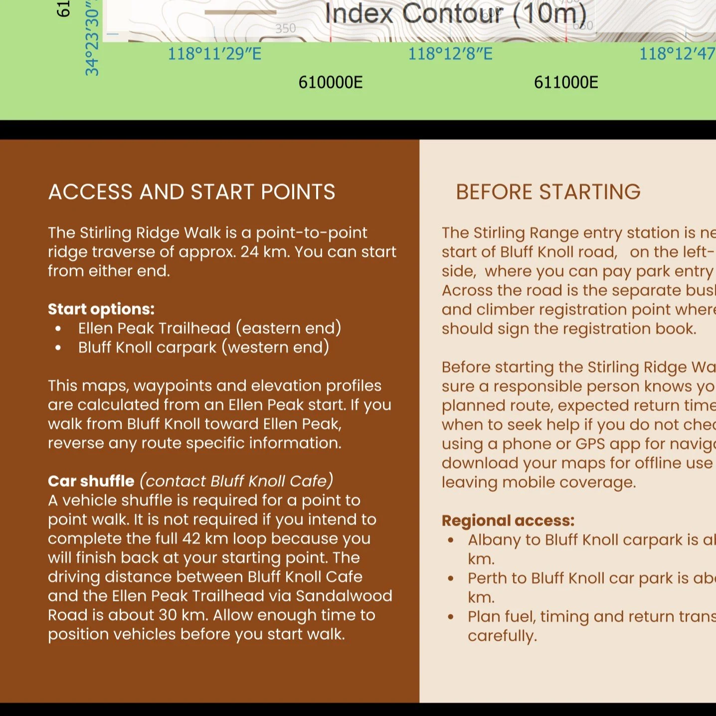
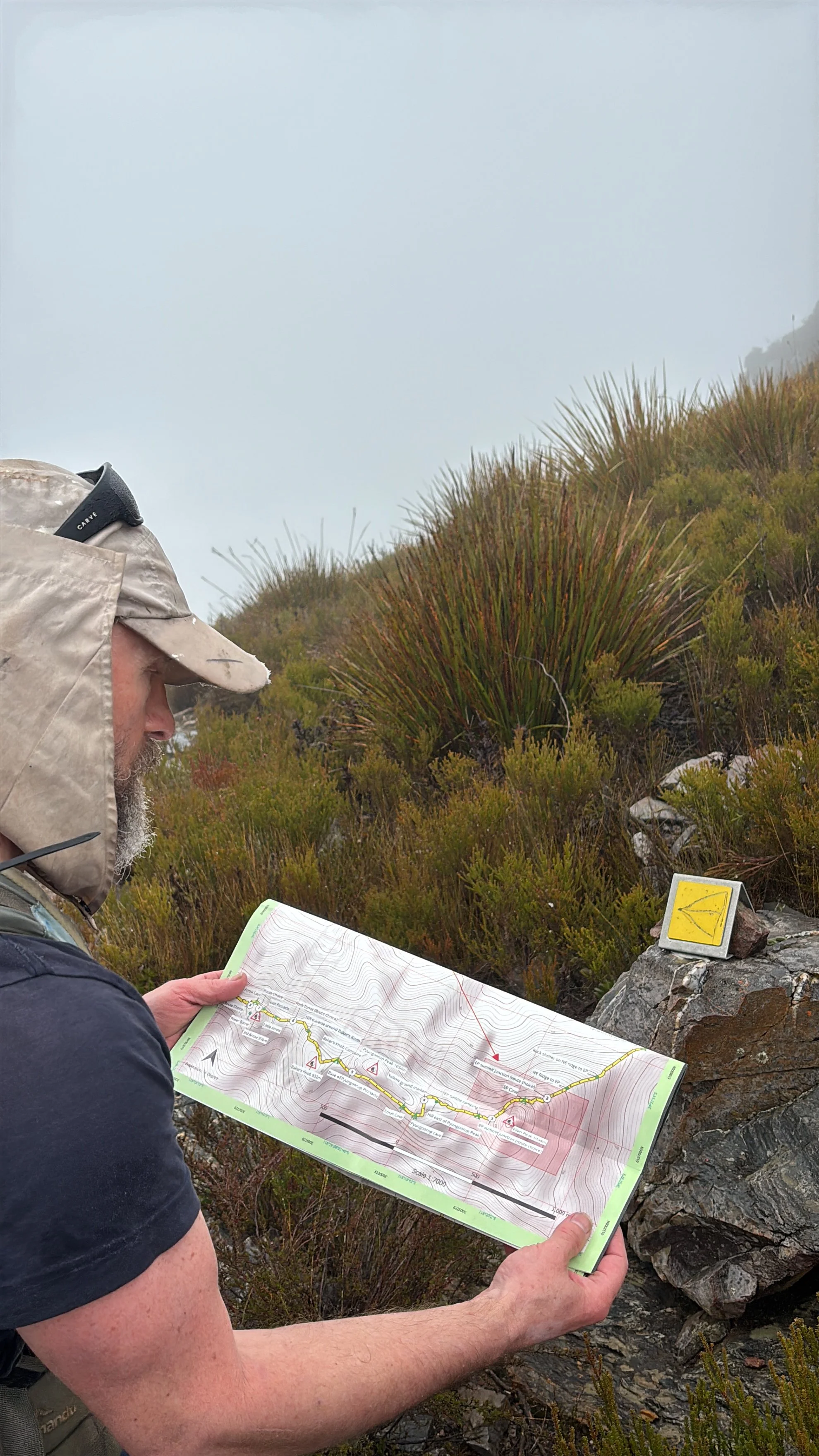
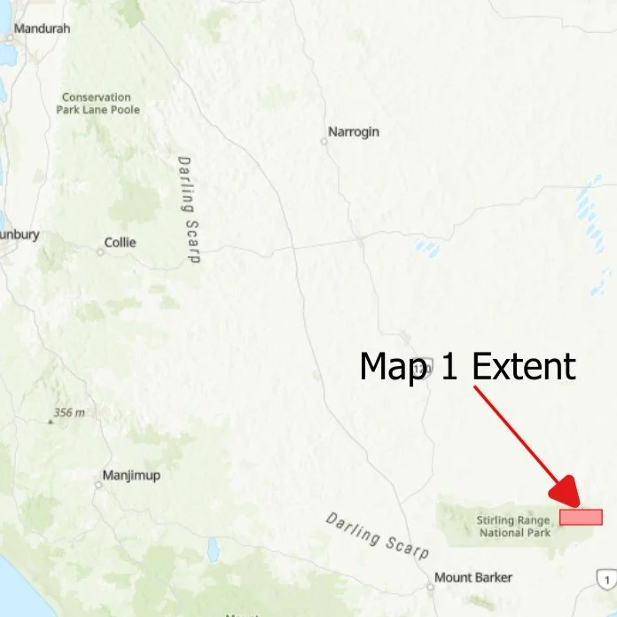
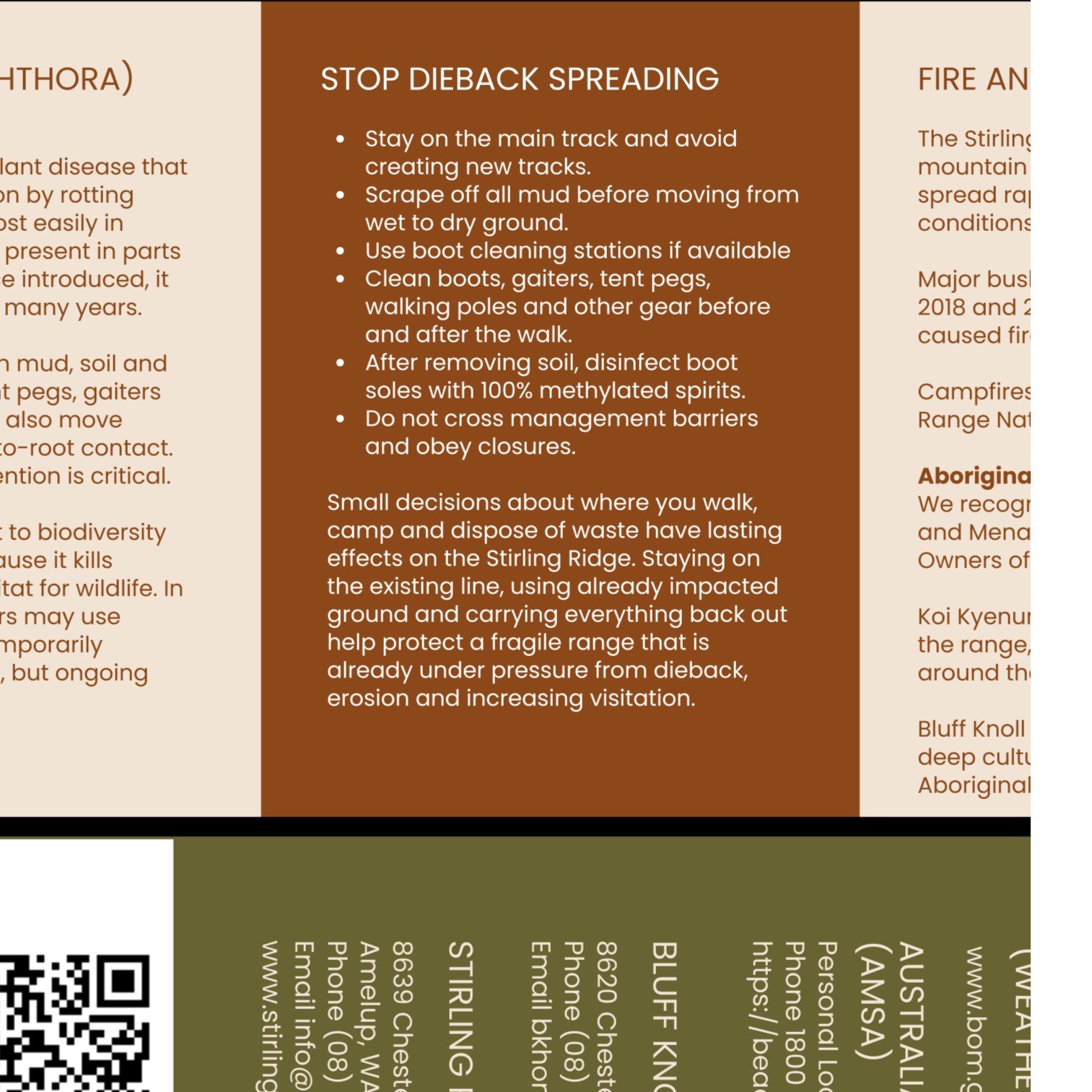

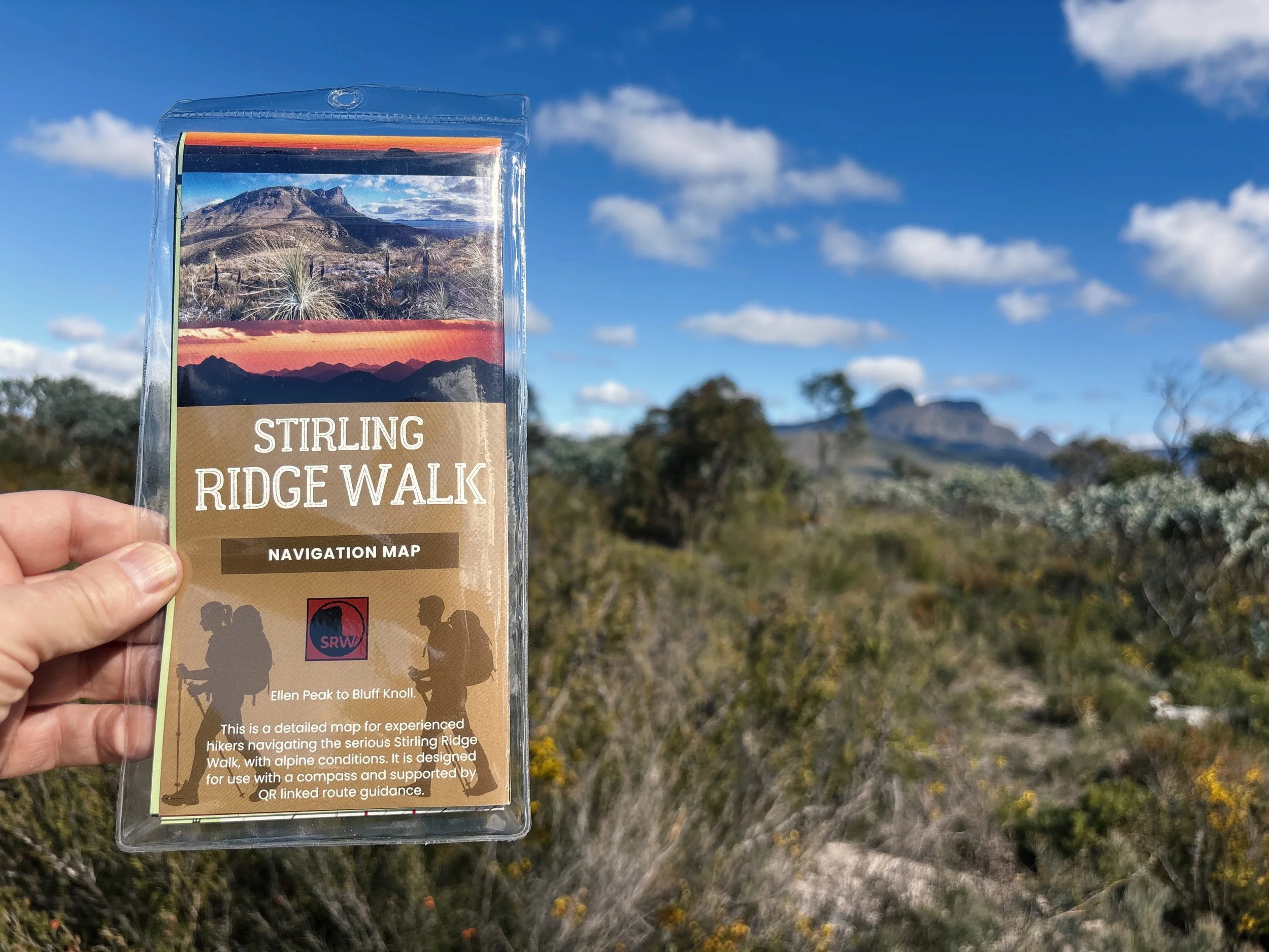
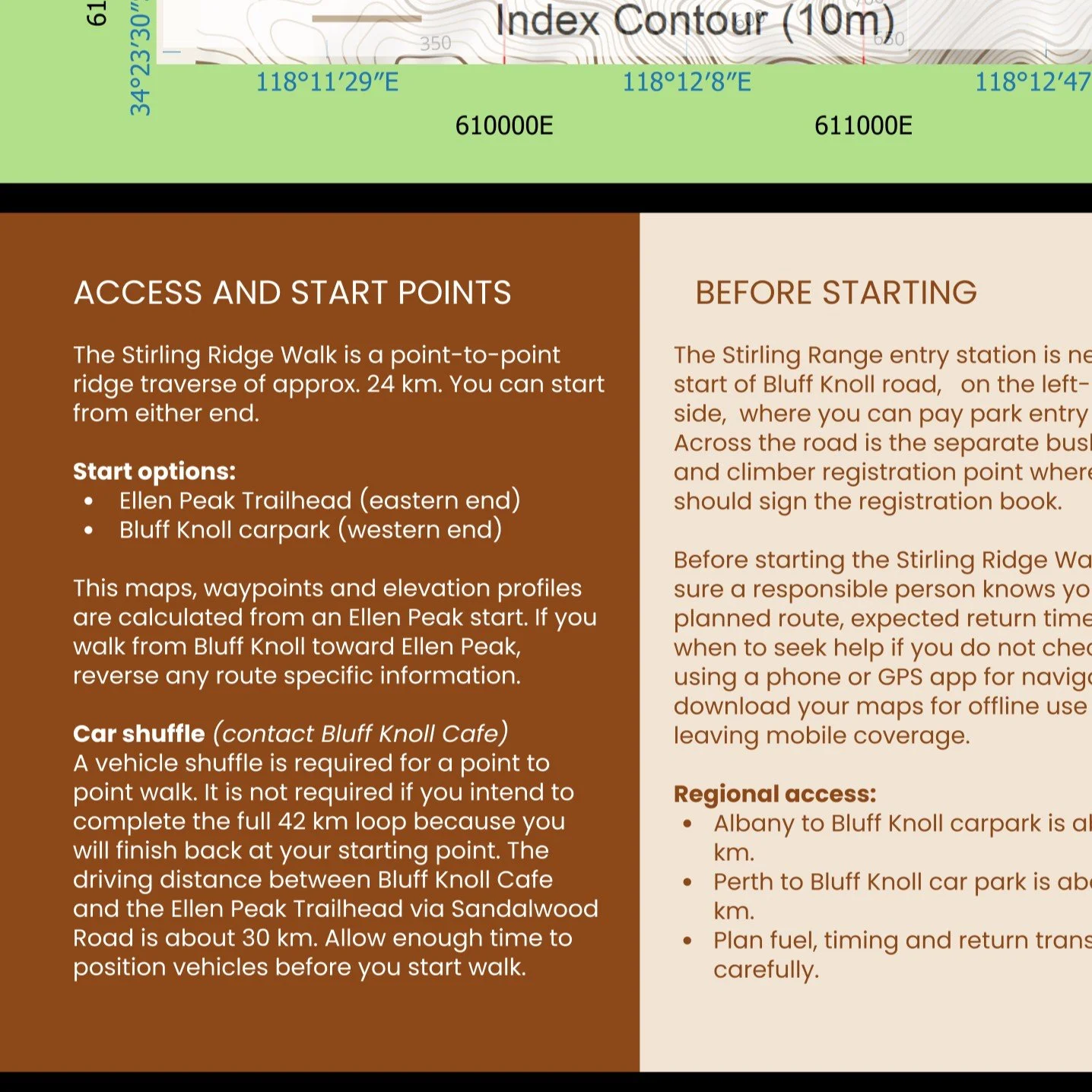

Designed specifically for the Stirling Ridge Walk, this detailed double sided A1 topographic navigation map combines accurate cartography with extensive field verification to assist experienced bushwalkers navigating one of Western Australia's most challenging alpine routes. Features include detailed contour mapping, grid references, 15 Critical Navigation Points, escape routes, camps, an elevation profile and QR code access to comprehensive online navigation resources. Printed on durable, waterproof and tear resistant synthetic stock, the map is folded to a convenient DL size (99 × 210 mm) and supplied in a protective plastic sleeve for reliable use in the field.
No results match your search. Try removing a few filters.