Stage 1: Ellen Peak Trailhead to Turnoff to Ellen Peak
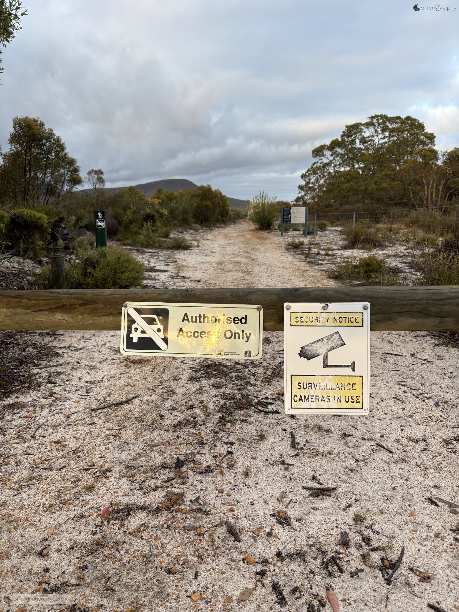
The start of the North Boundary Track from Ellen Peak Trailhead, with Moir Hill visible beneath low cloud.
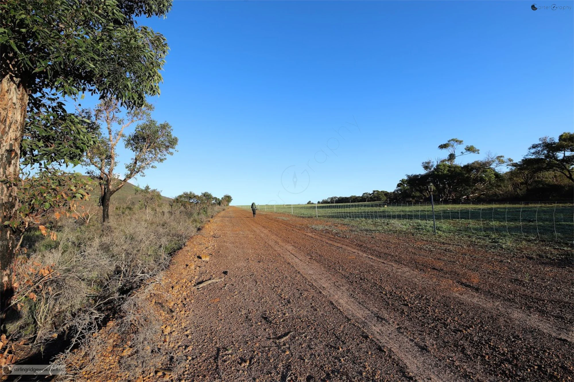
The North Boundary Track following the northern edge of Stirling Range National Park beside adjoining farmland.
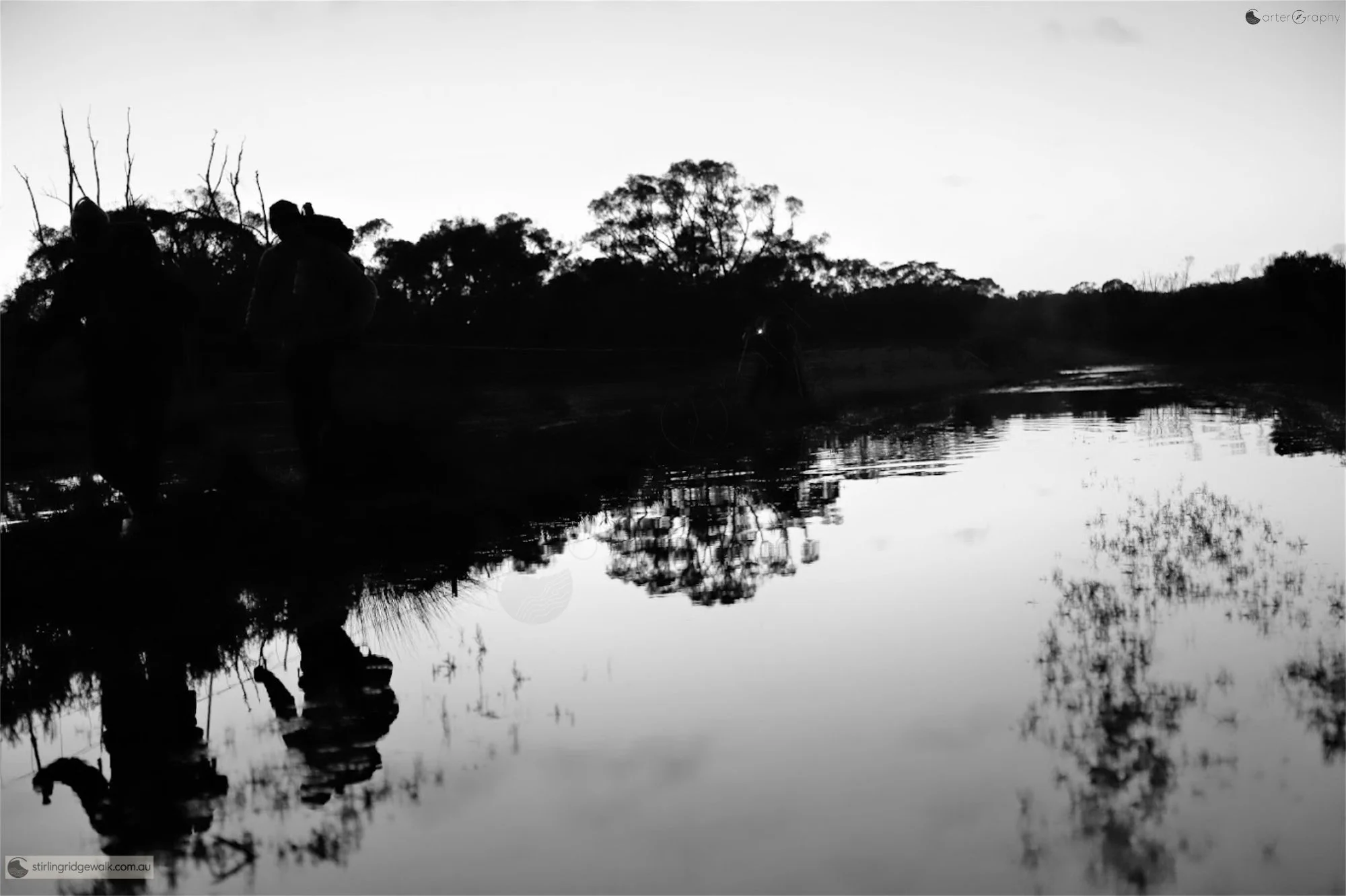
Water covering the boggy section of the North Boundary Track shortly after leaving the Ellen Peak Trailhead.
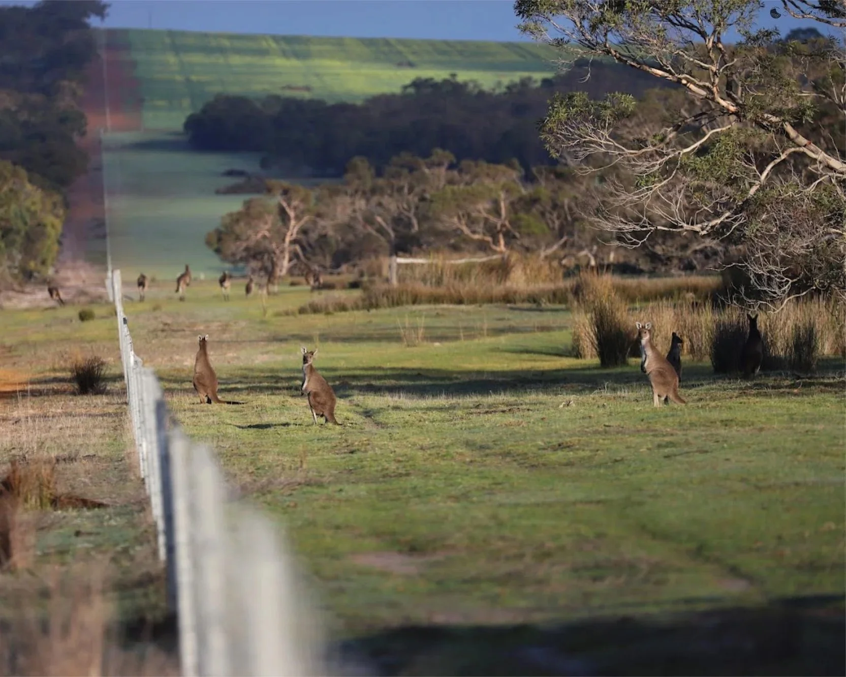
Western Grey Kangaroos grazing in farmland beside the North Boundary Track fence, a common sight along the approach from Ellen Peak Trailhead.
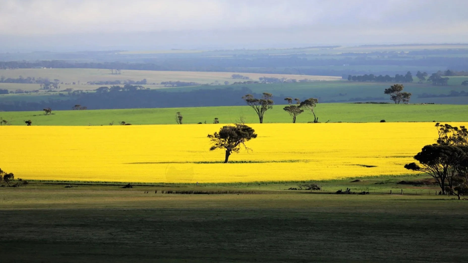
Bright yellow canola fields beyond the North Boundary fence, contrasting with the surrounding farmland north of the Stirling Range.
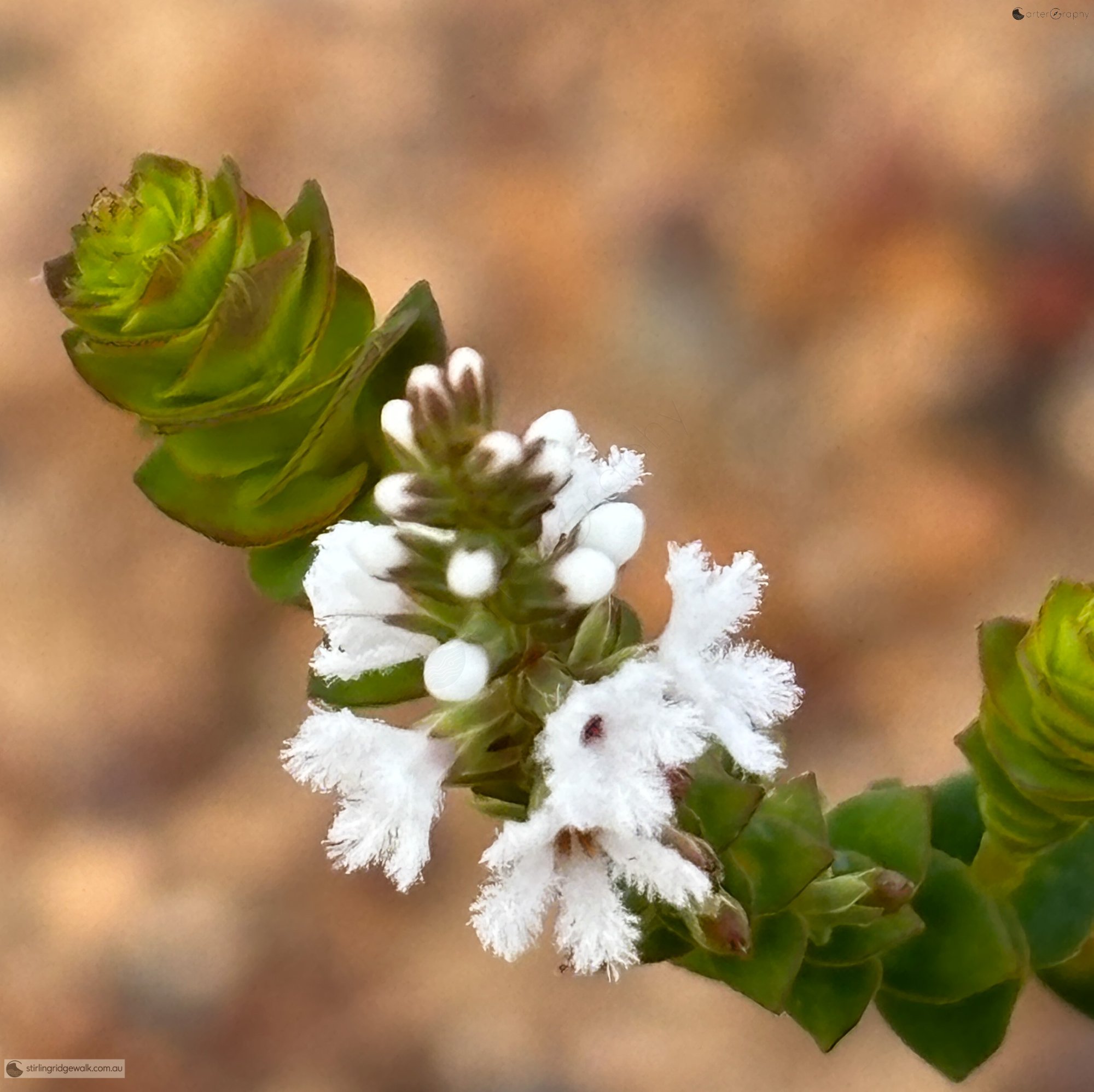
White flowering native heath growing beside the track on the North East Track approach to the Ellen Peak.
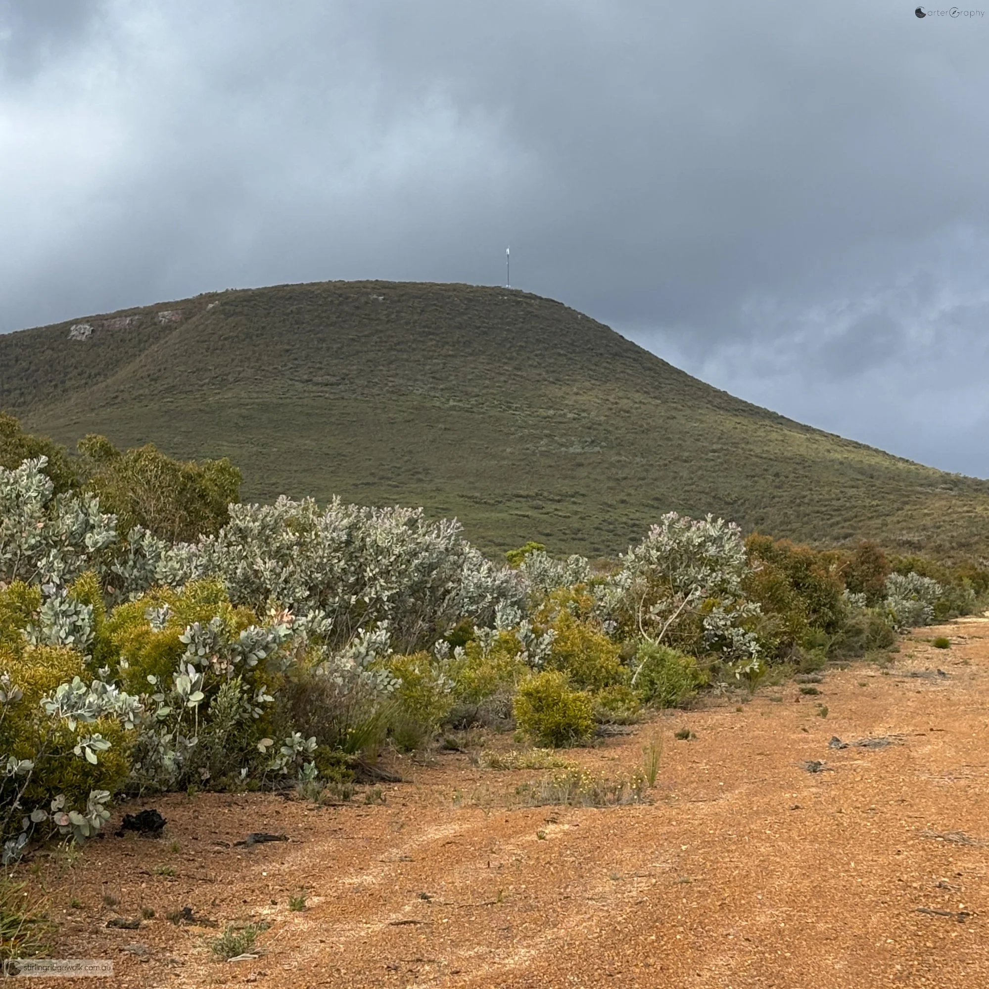
Approaching Moir Hill along the North East Track, with the summit rising ahead beneath low cloud.
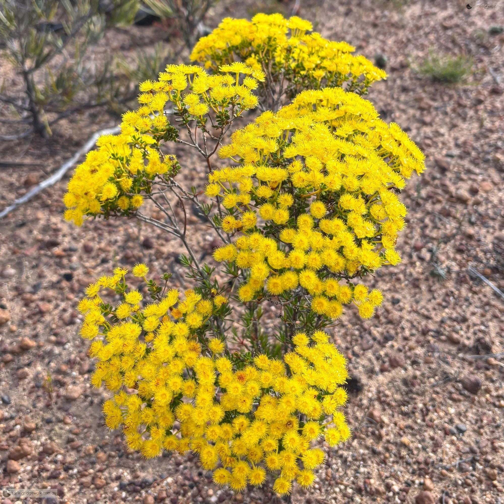
Masses of bright yellow native flowers beside the North East Track.
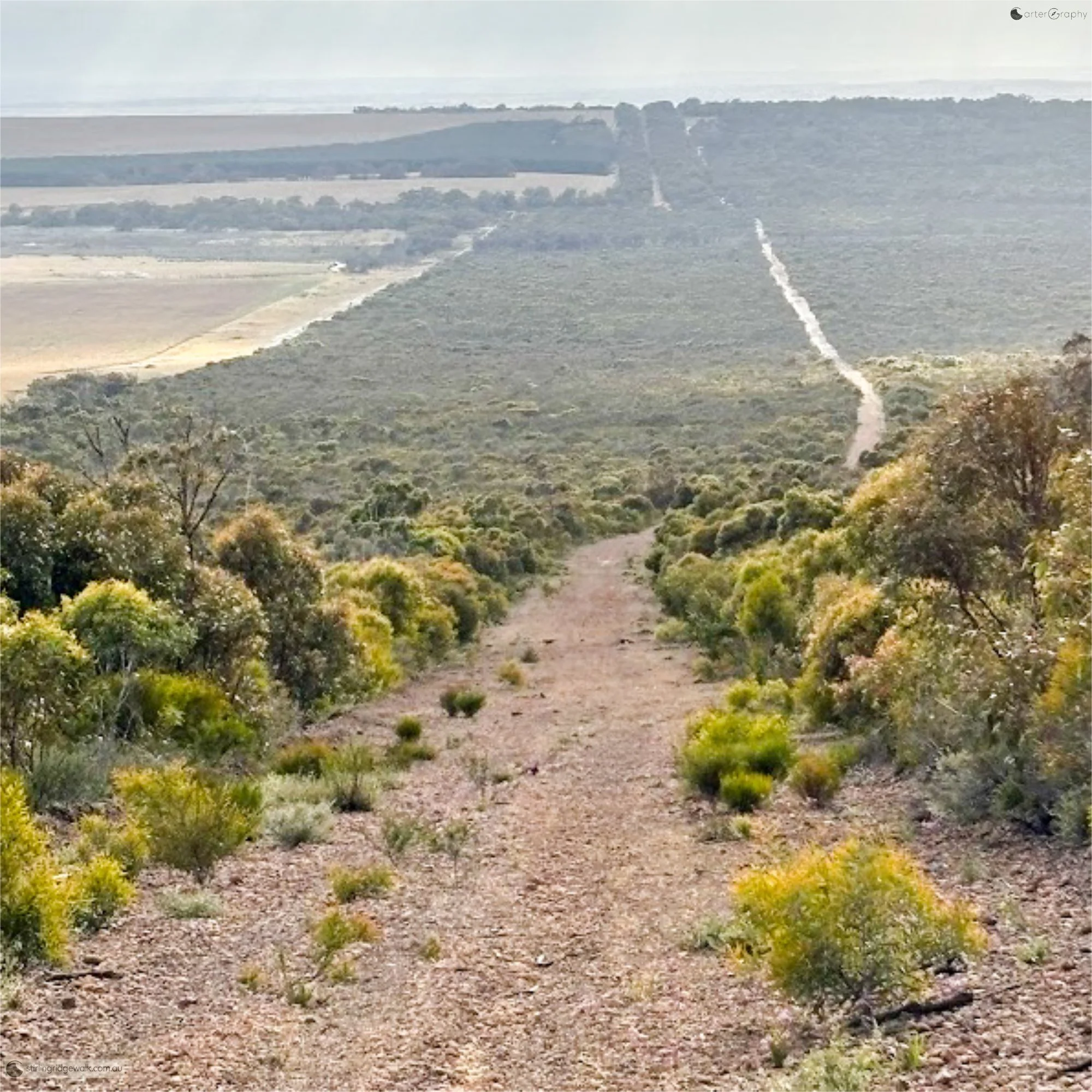
Looking back down the North East Track towards Ellen Peak Trailhead, with the North Boundary Track visible to the left.
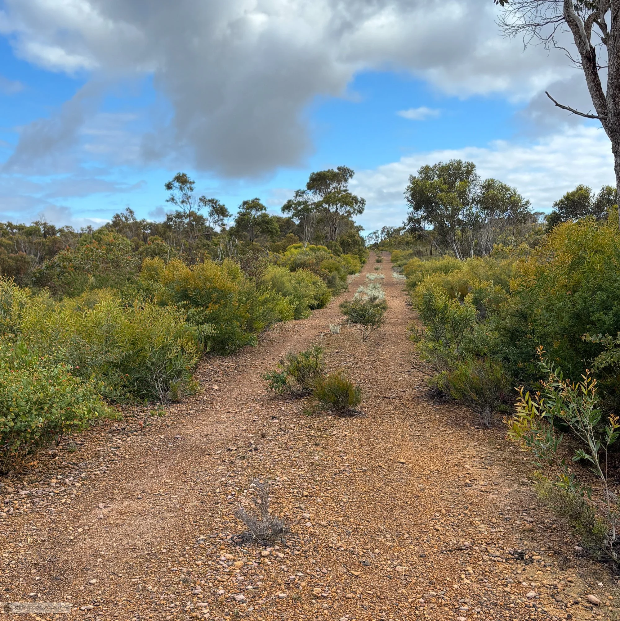
Looking east along the North East Track towards the Ellen Peak turnoff.
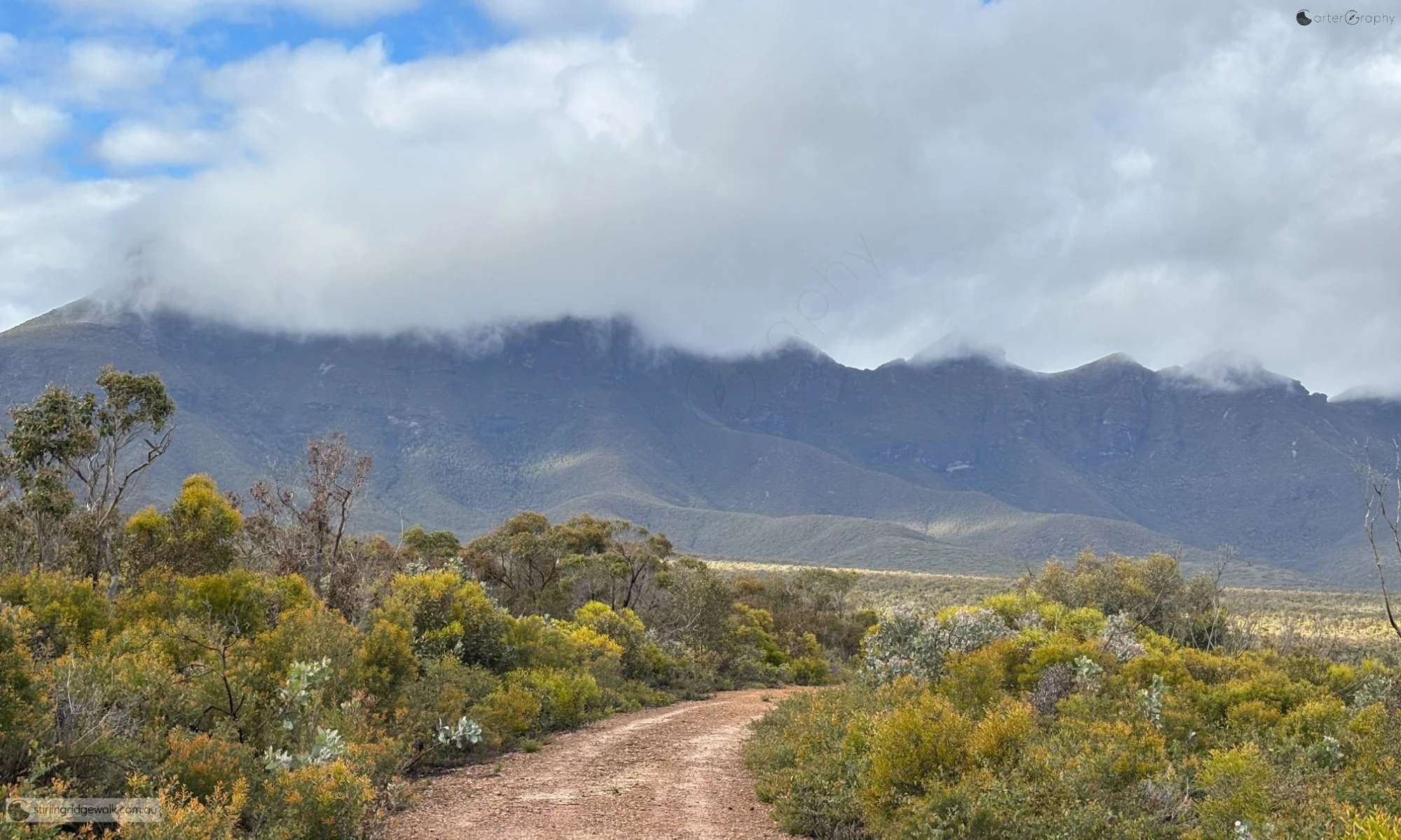
A sweeping view of the Stirling Ridge from the North East Track, with low cloud obscuring much of the higher terrain.
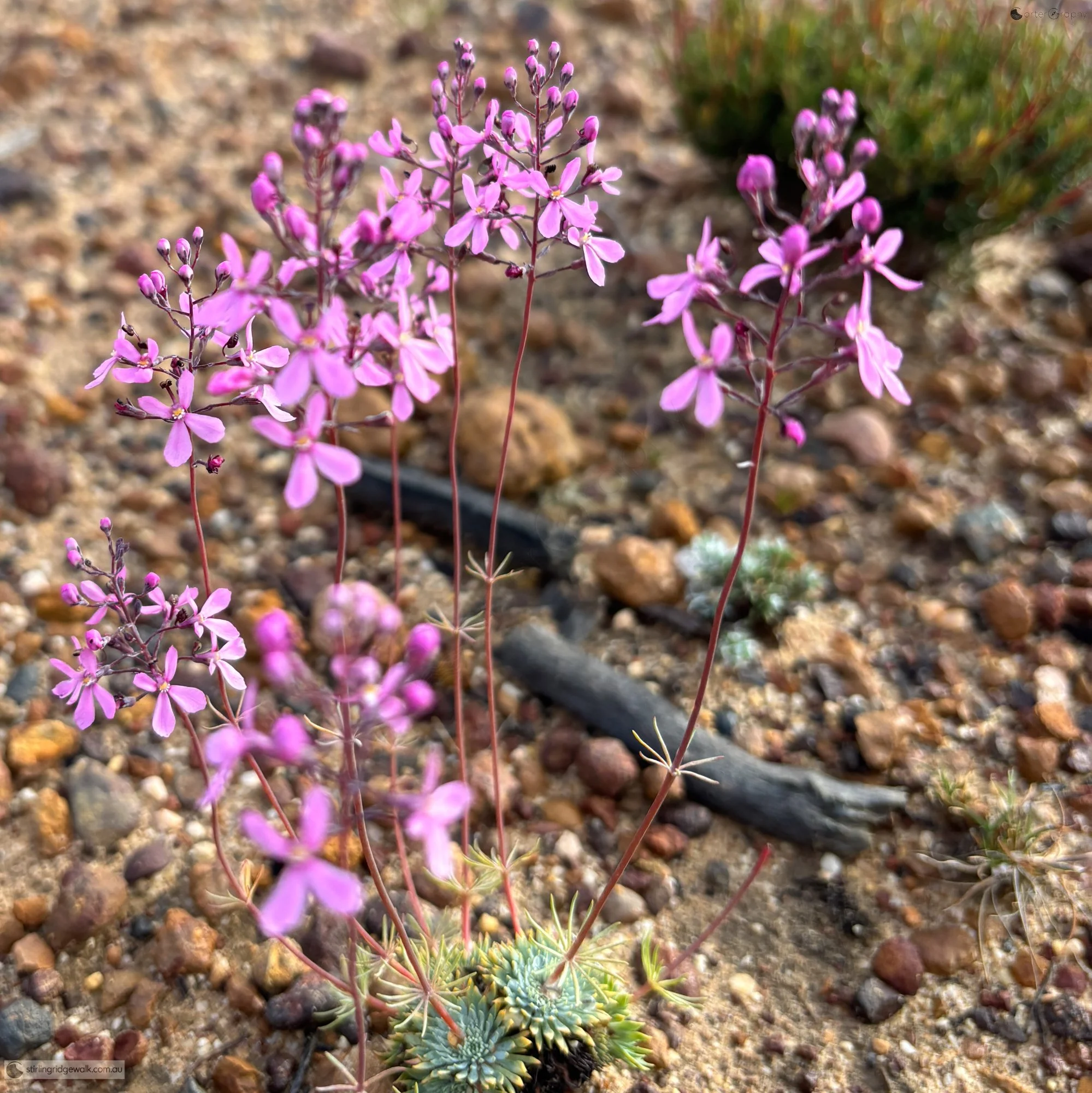
Delicate pink wildflowers growing beside the North East Track.
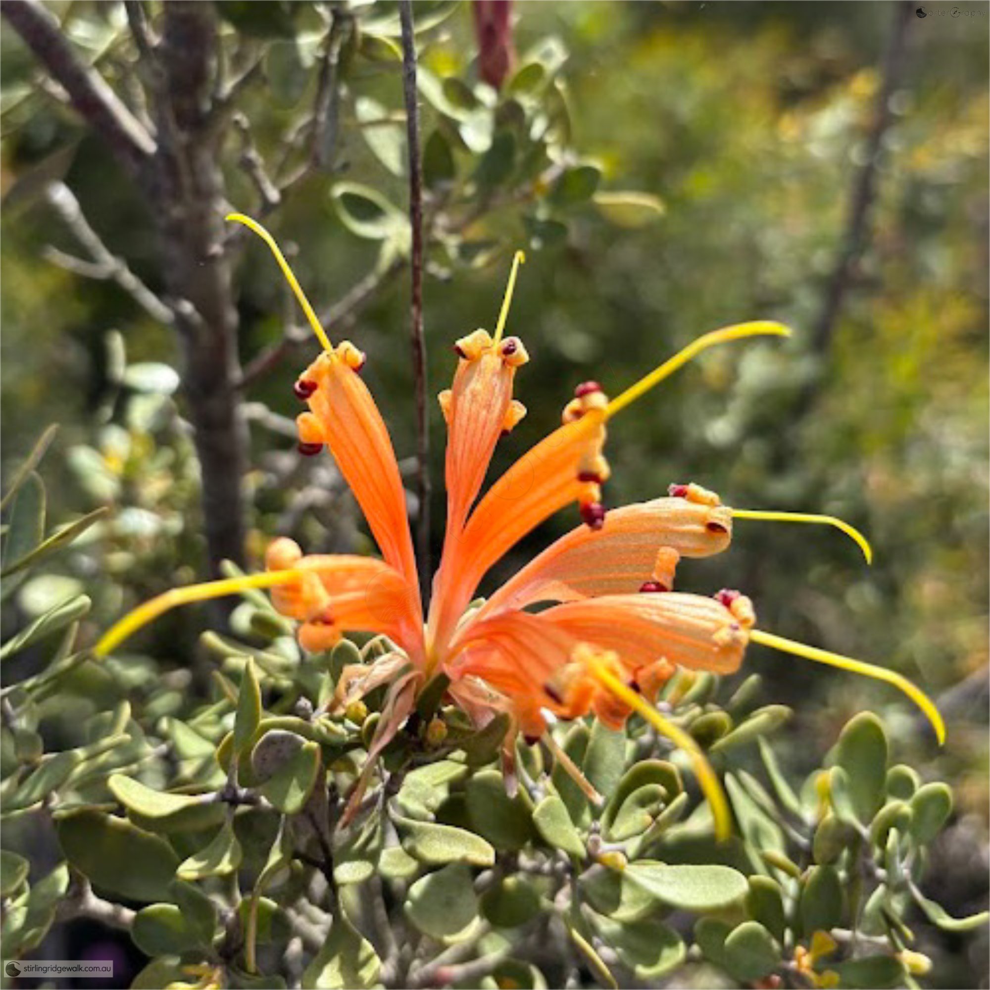
Orange flowering Grevillea, probably Grevillea depauperata, growing along the eastern approach to the Stirling Ridge.
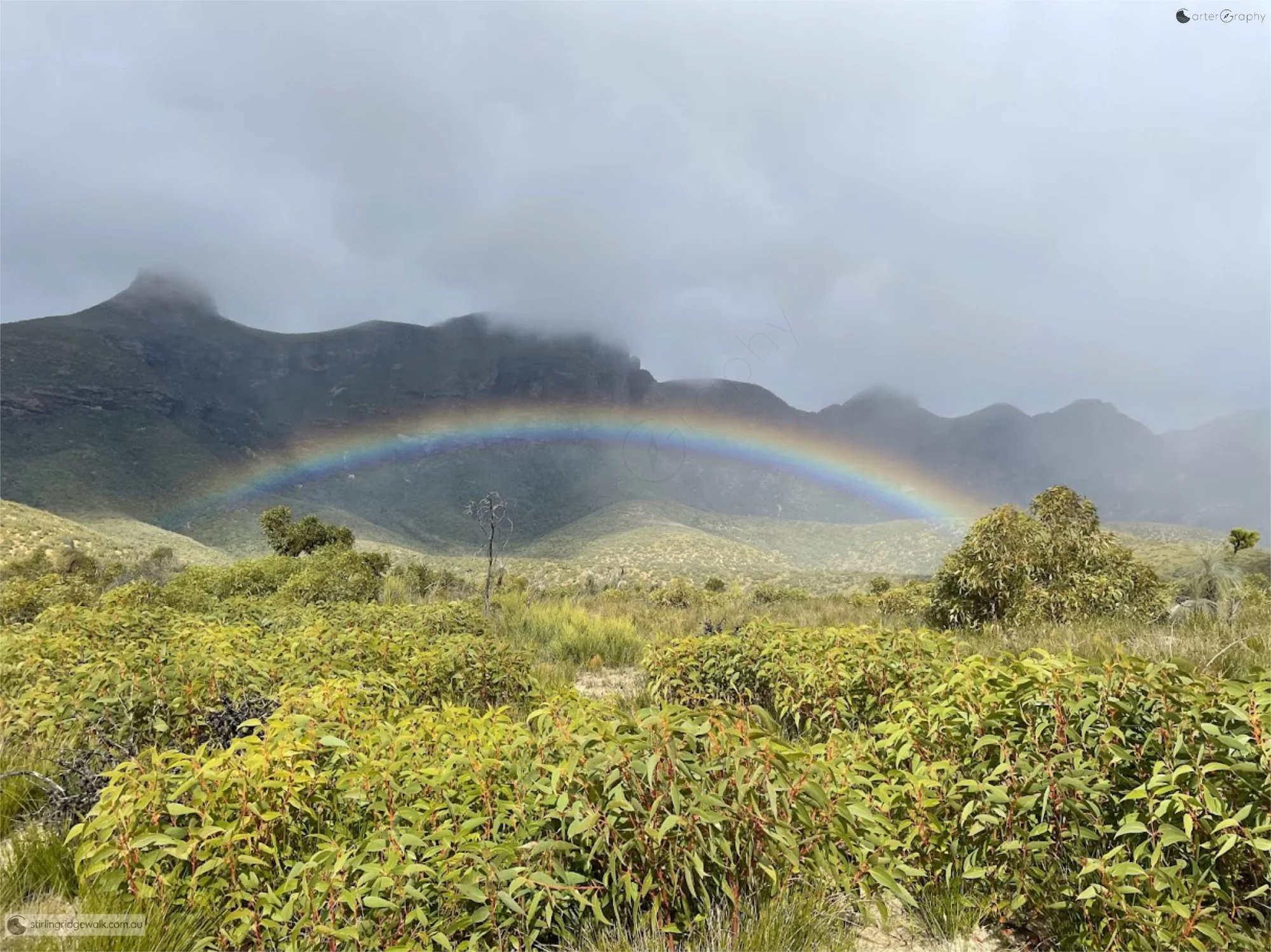
A rainbow beneath low cloud across the Stirling Ridge Walk, viewed from the northern ridge on the approach to Ellen Peak.
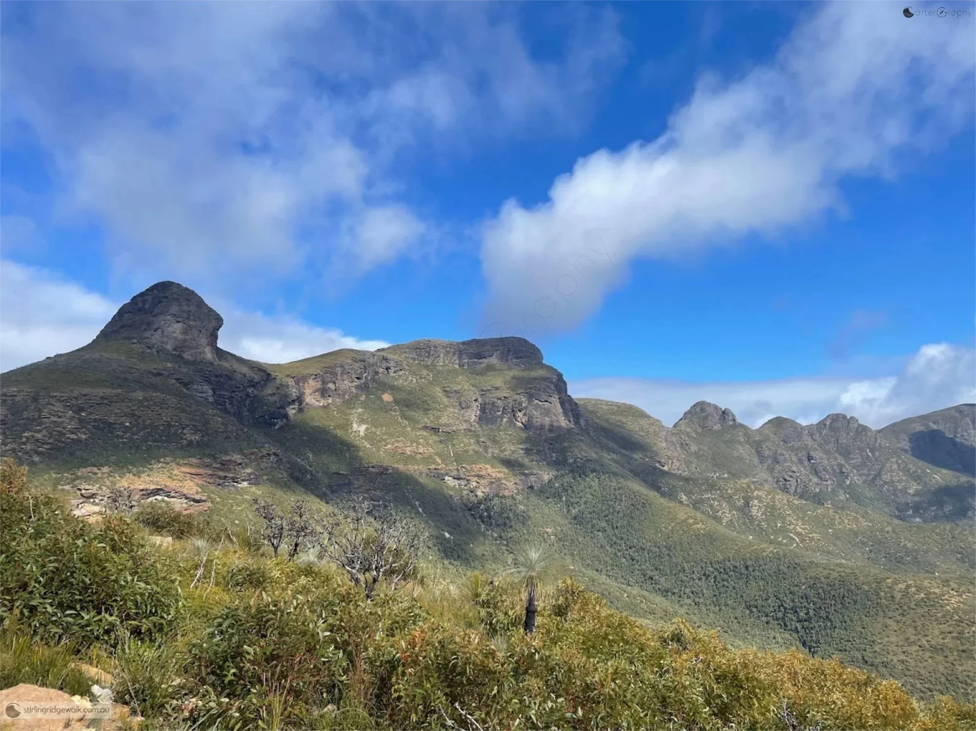
Looking across the Stirling Ridge Walk from the northern ridge on the approach to Ellen Peak, with Ellen Peak on the left, followed by Pyungoorup Peak, Baker’s Knob, 3rd Arrow, 2nd Arrow and 1st Arrow.