Getting to the Stirling Range National Park
The Stirling Range Entry Station provides a convenient reference point for travelling to the Stirling Range National Park and is where walkers can register for the Stirling Ridge Walk. The maps below show the driving routes from Perth and Albany to the Entry Station.
Use the interactive Google Maps to view the routes, explore alternative routes and obtain current driving directions.
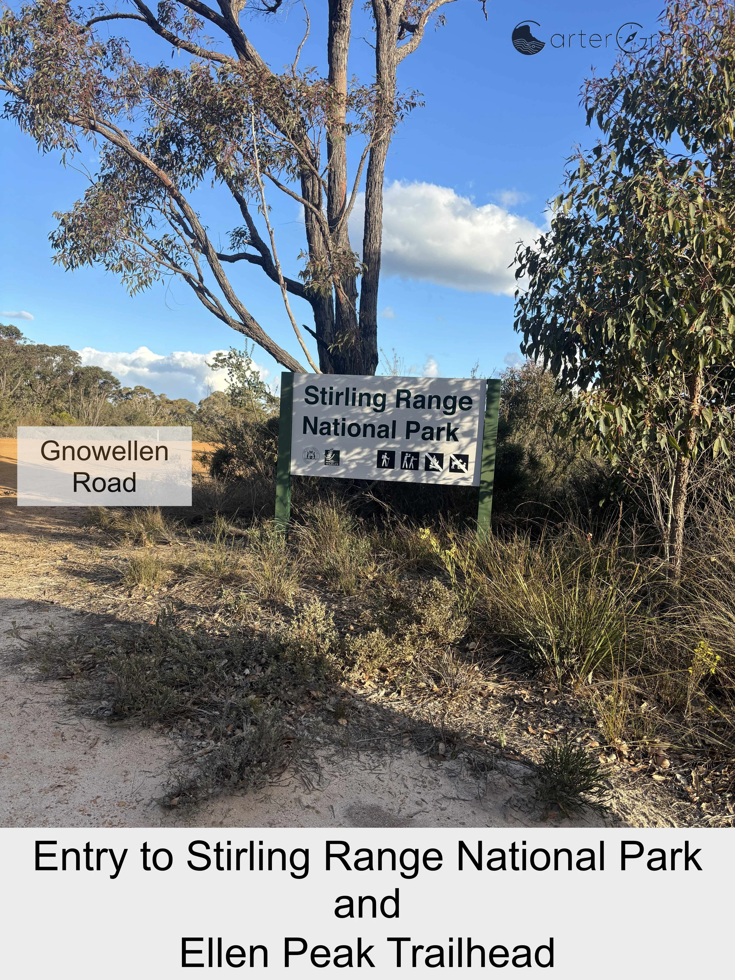
The directions in the following section are for walkers completing the Stirling Ridge Walk from Ellen Peak to Bluff Knoll. From the Stirling Range Entry Station, continue to the Ellen Peak Trailhead on Gnowellen Road, where the walk commences.
If completing the Stirling Ridge Walk in the opposite direction, from Bluff Knoll to Ellen Peak, continue from the Entry Station along Bluff Knoll Road to the Bluff Knoll car park, where the walk commences.
Stirling Range Entry Station to Ellen Peak Trailhead
Total distance: approximately 29.6 km
Driving time: approximately 25 minutes
From the Stirling Range Main Entry Station, travel approximately 37 m to Chester Pass Road (Albany–Lake Grace Road) and turn right.
Continue north along Chester Pass Road for 8.4 km.
Turn right onto Sandalwood Road and continue for approximately 16.9 km.
Turn right onto Gnowellen Road and continue for approximately 4.1 km.
Turn right and continue approximately 220 m to the Ellen Peak Trailhead. The destination will be on your left.
Important: Road and access conditions can change. Check current conditions before travelling and follow current road signage.